KEPLER TRACK
KEPLER TRACK
***as usual, audio and photos at the bottom!***
So after getting back from the Doubtful Sound Kayak trip, I could hardly move my arms. I was so incredibly sore and tired the next morning. After topping up my provisions for the next four days walk and driving to the trail head, to be honest, I was cursing myself a bit for booking so many tiring activities back to back. However, upon realizing that that is probably one of the best problems i’ve had in a while, I managed to heave my pack over my sore arms and start down the track.
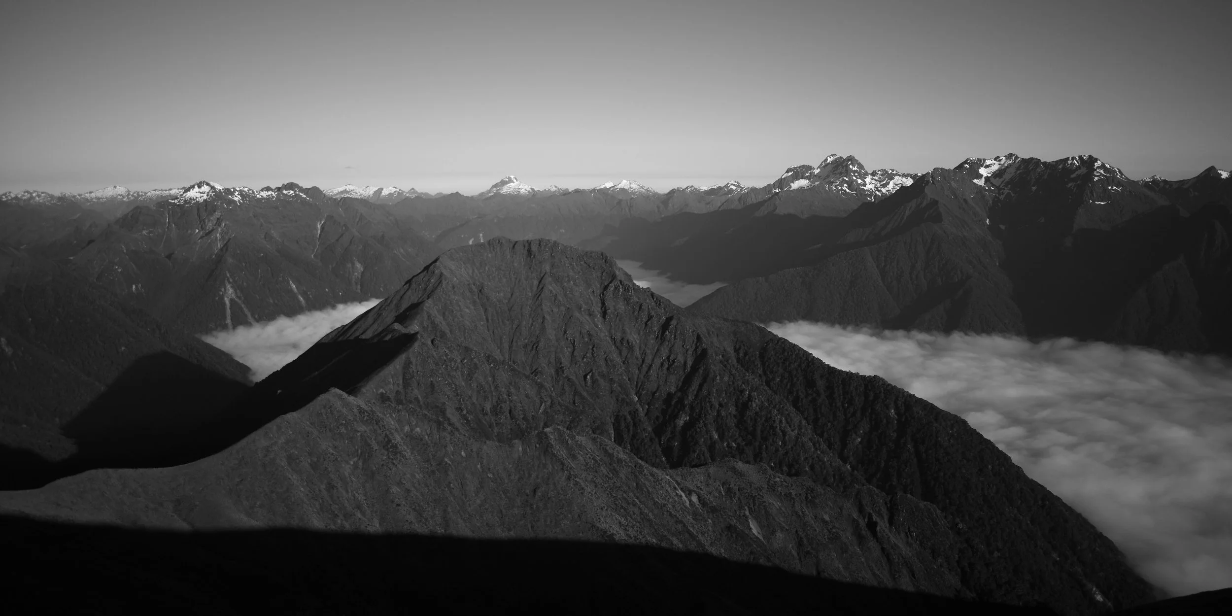
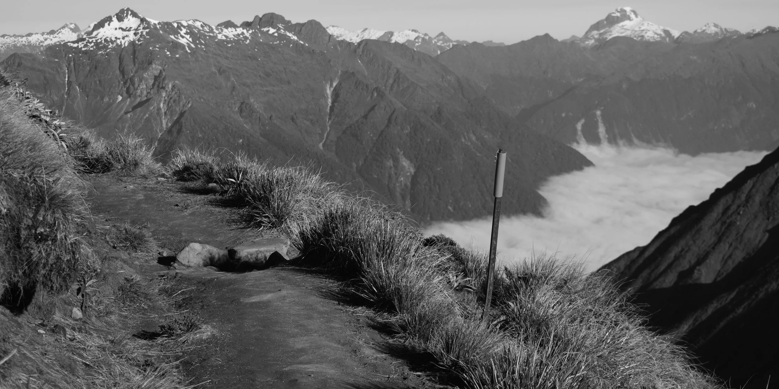
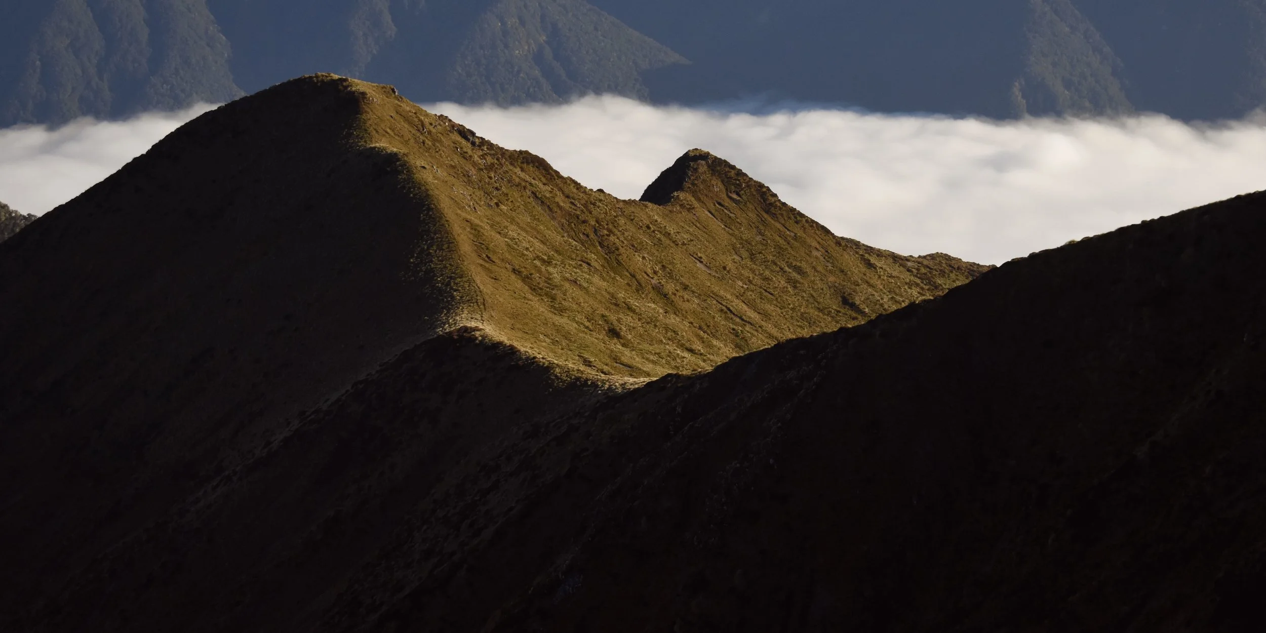
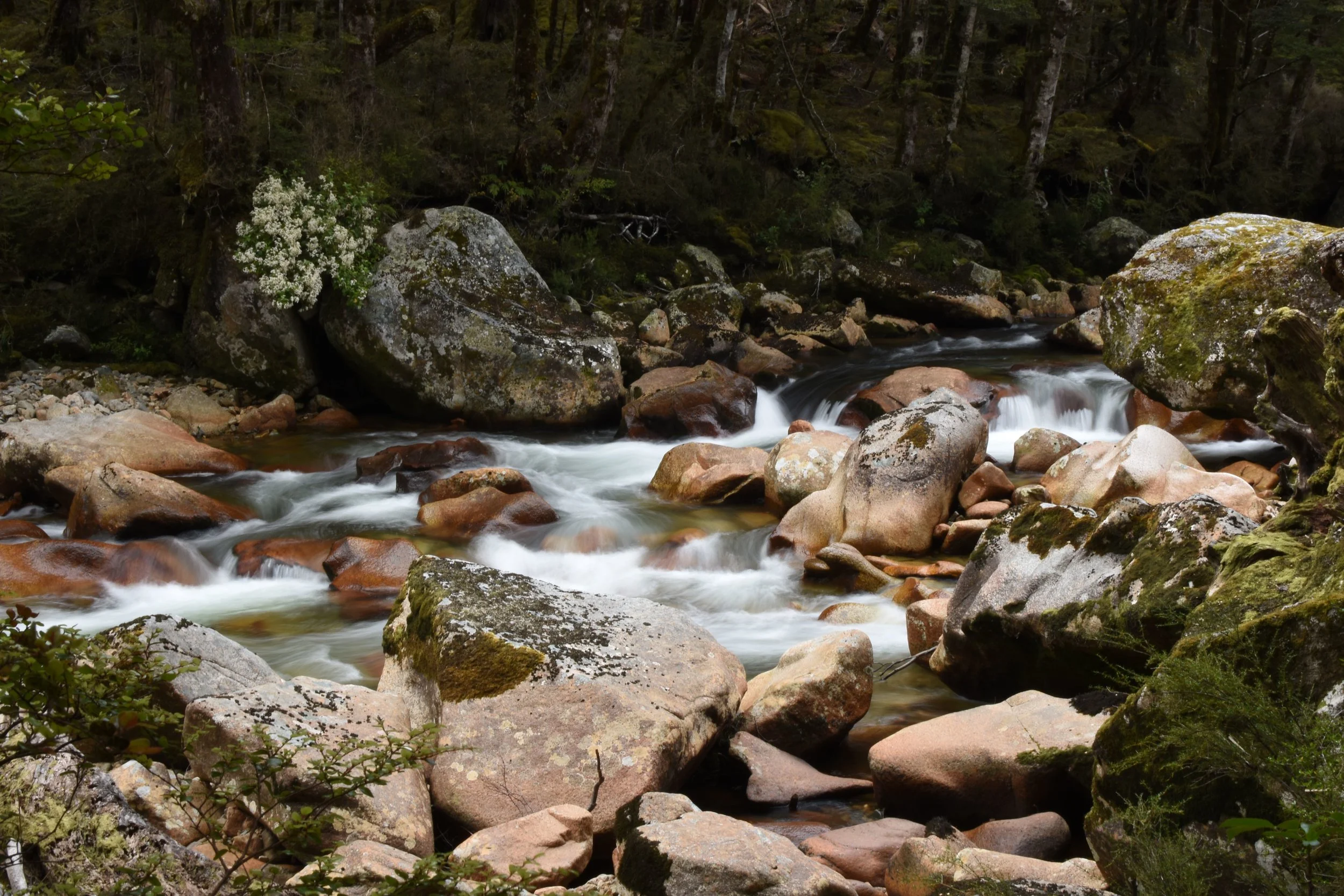
The Kepler is a roughly 60km loop around some of the interior mountains of Fiordland, just west of the southern most bit of lake Te Anau. It’s usually broken up into four days of walking with one day spent almost entirely above the tree line on mountain ridges.
Day one:
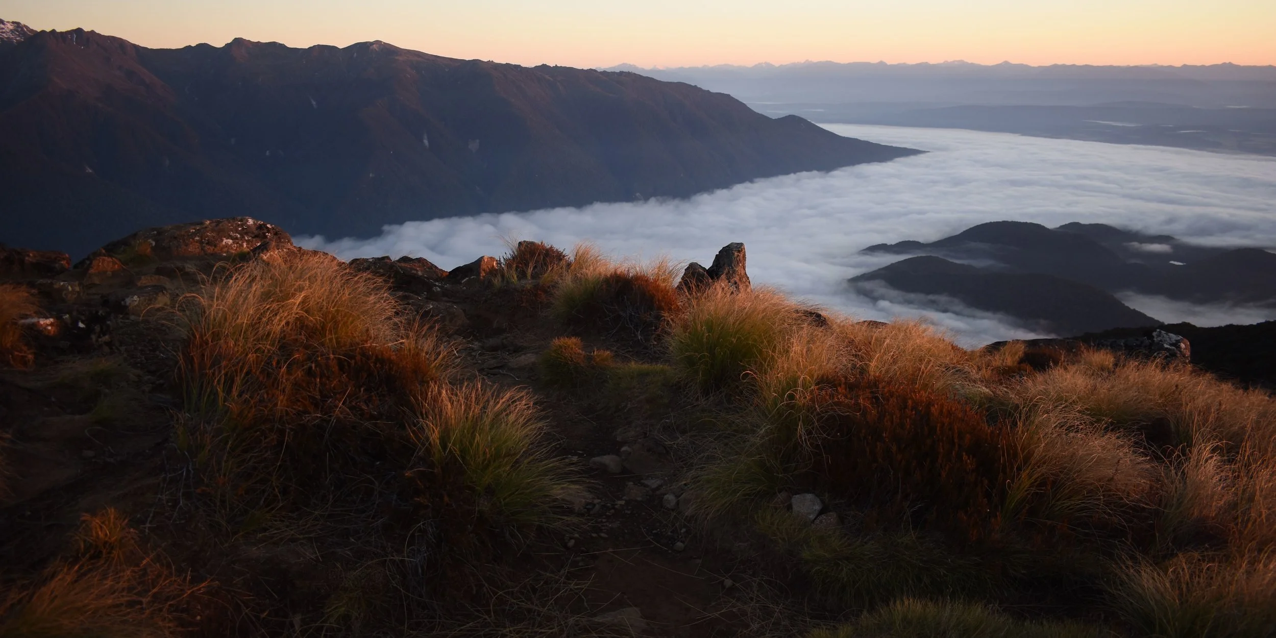
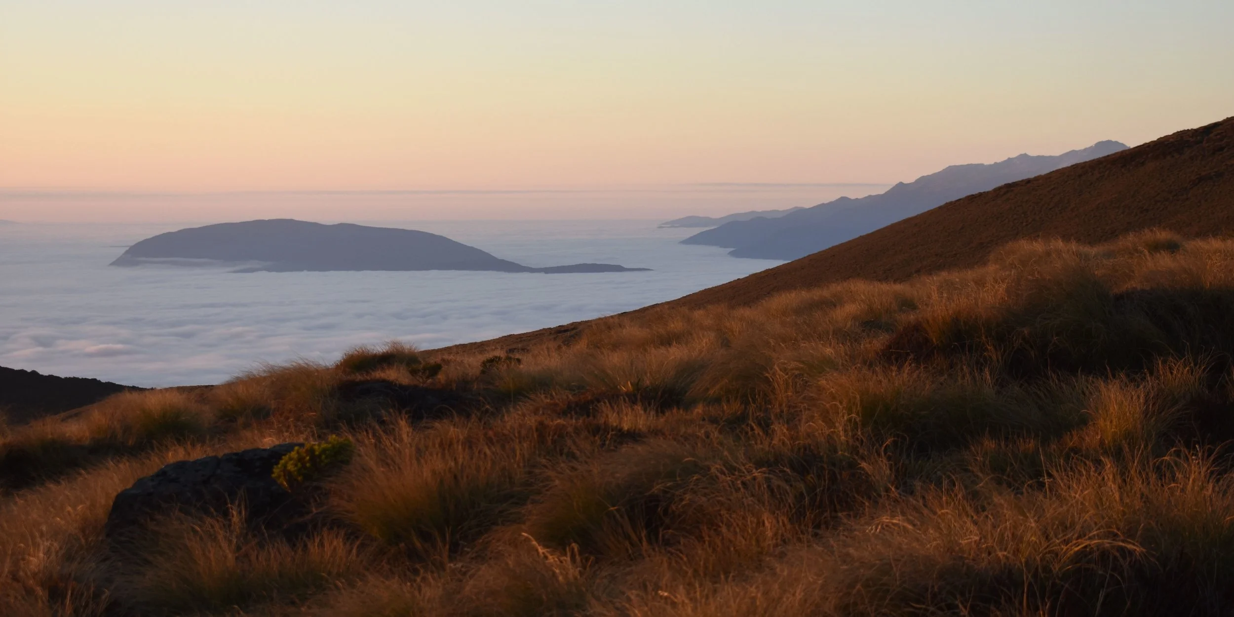
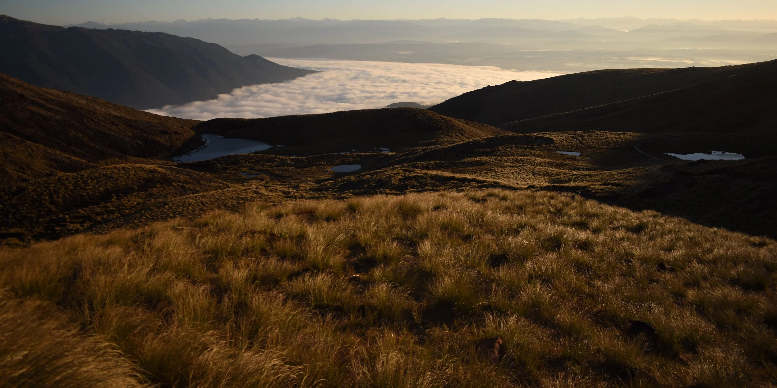
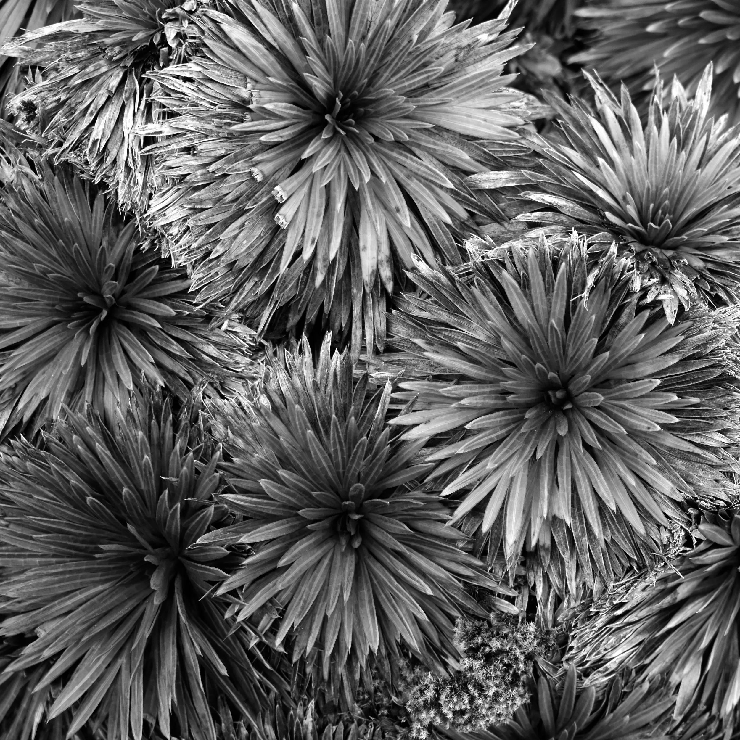
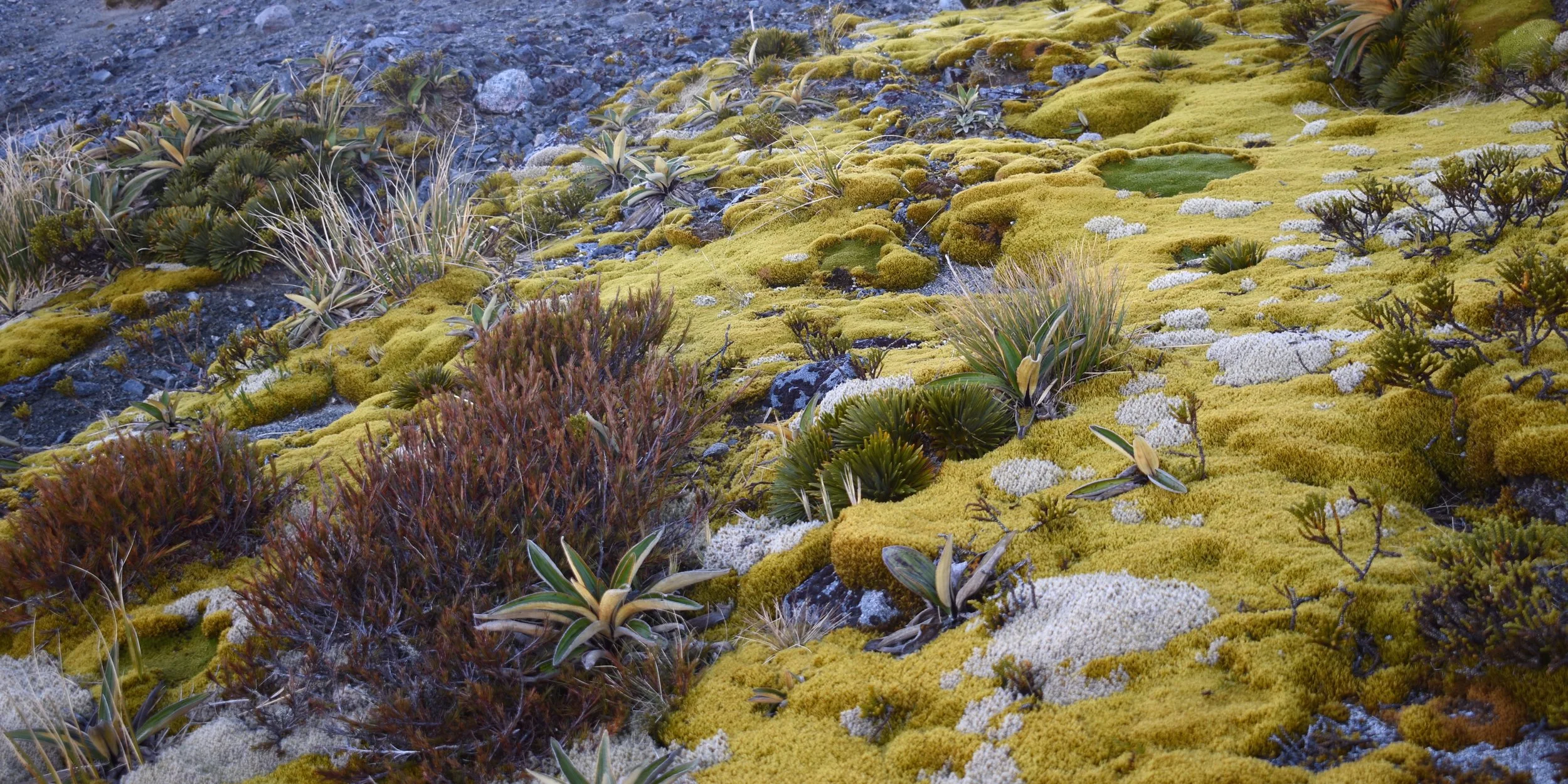
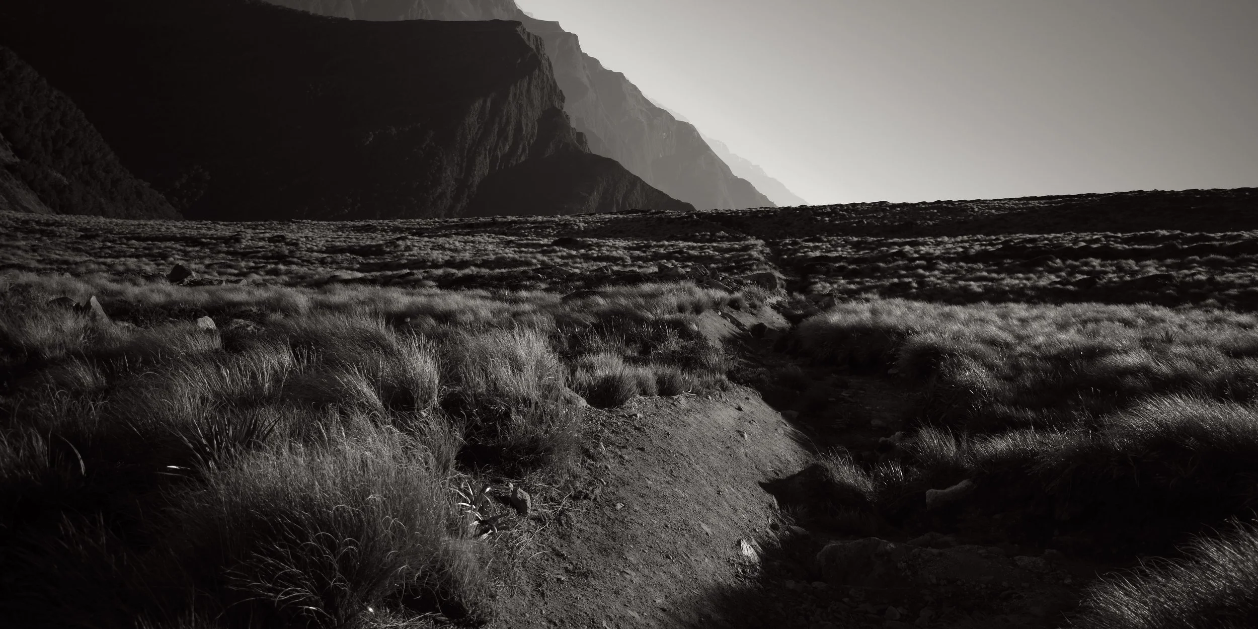
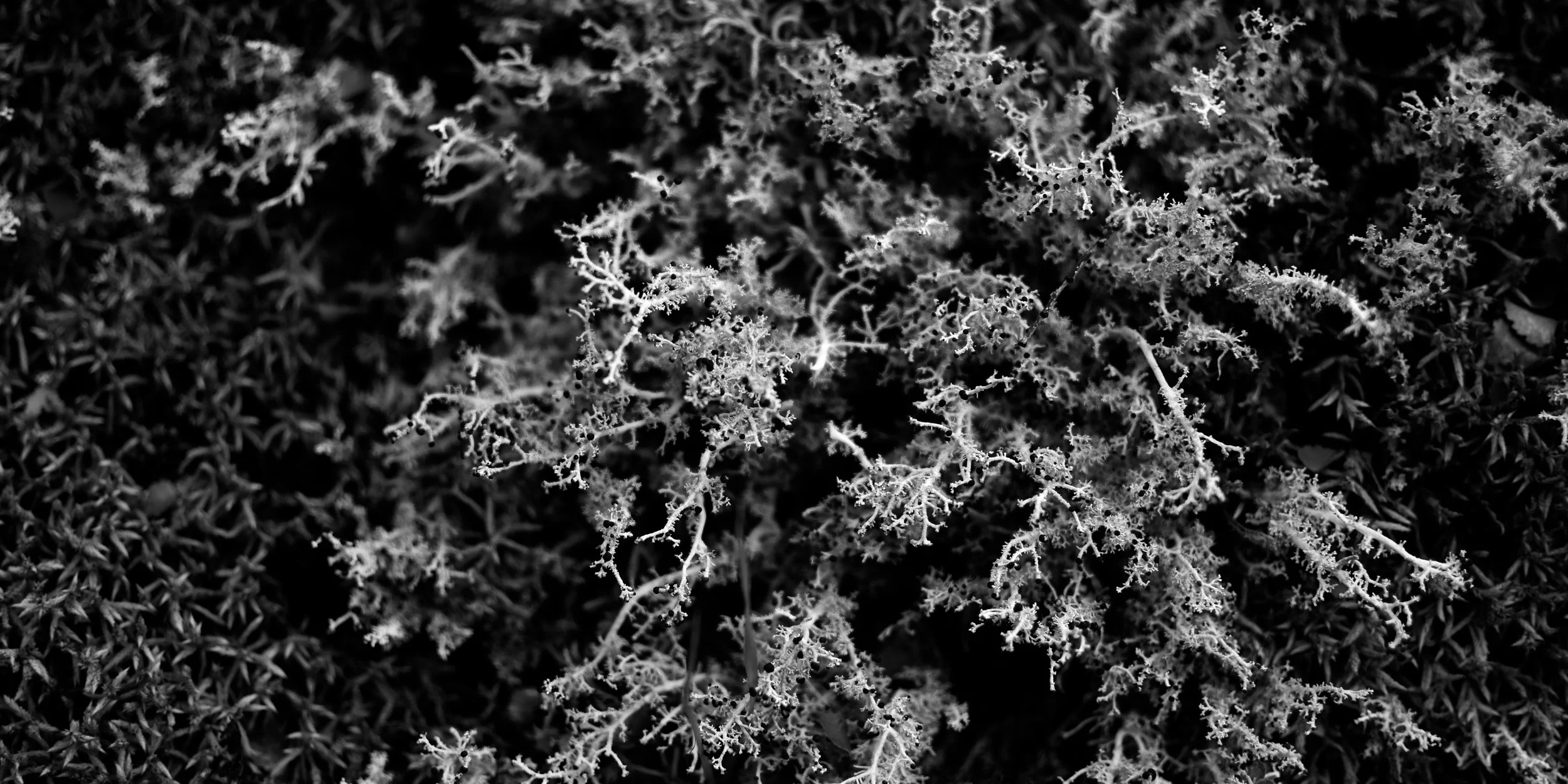
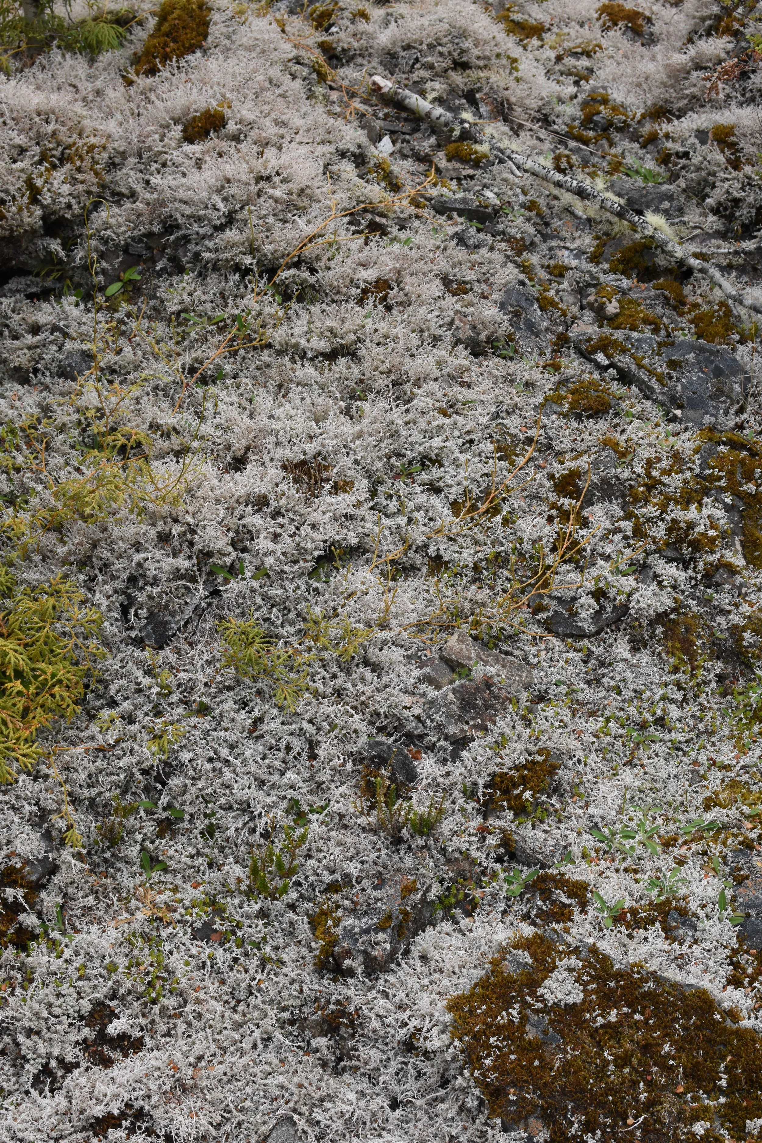
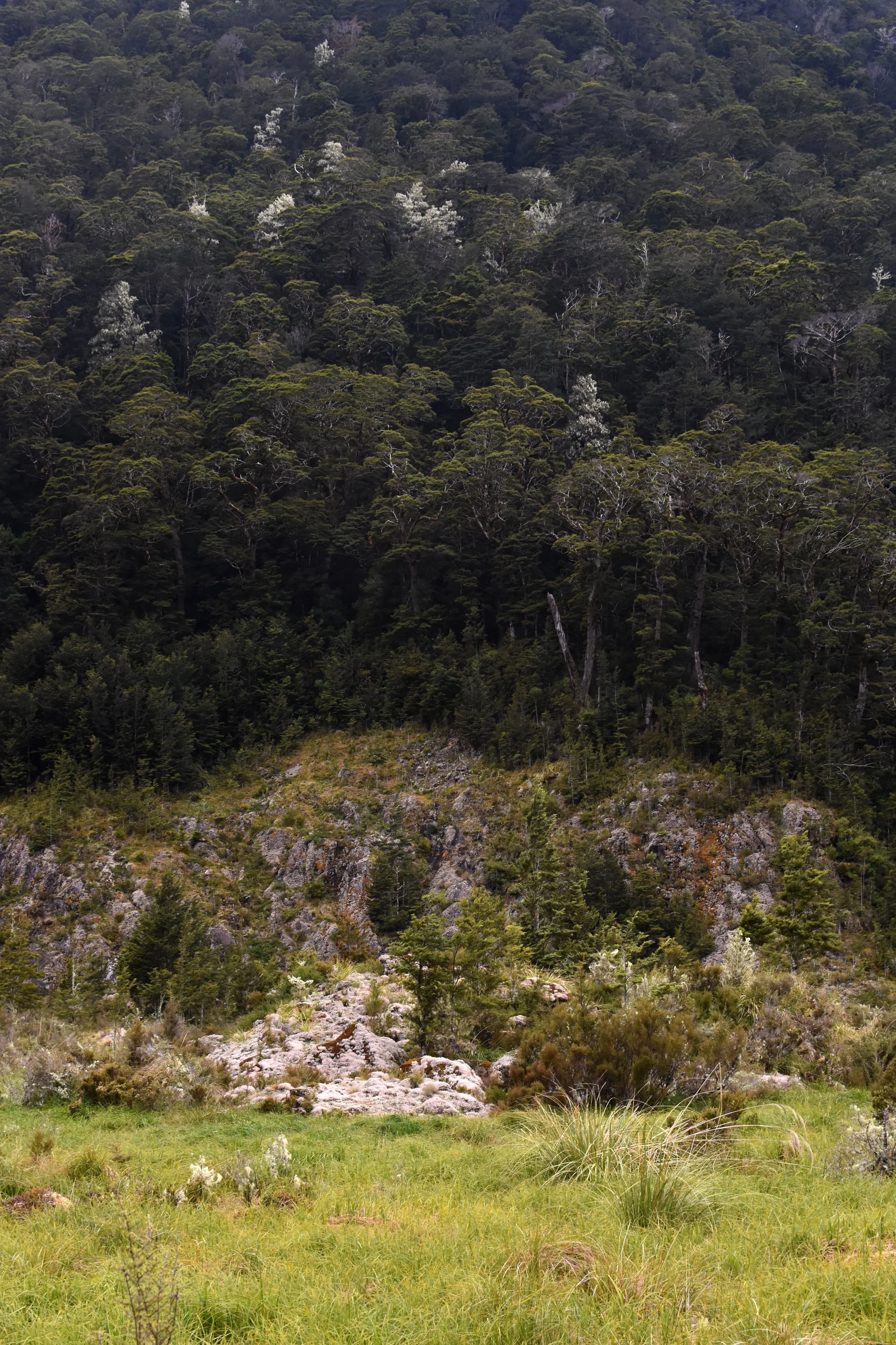
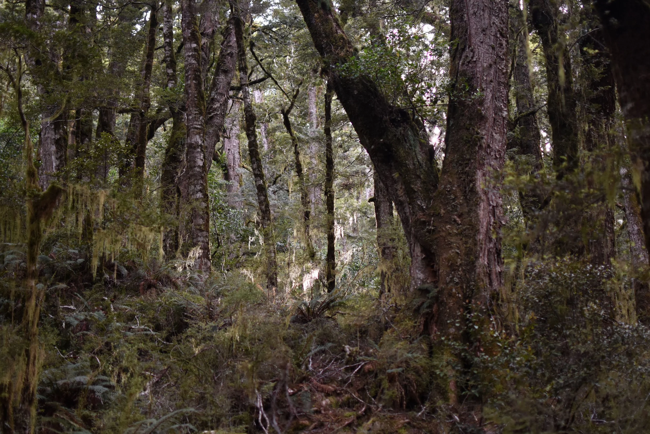
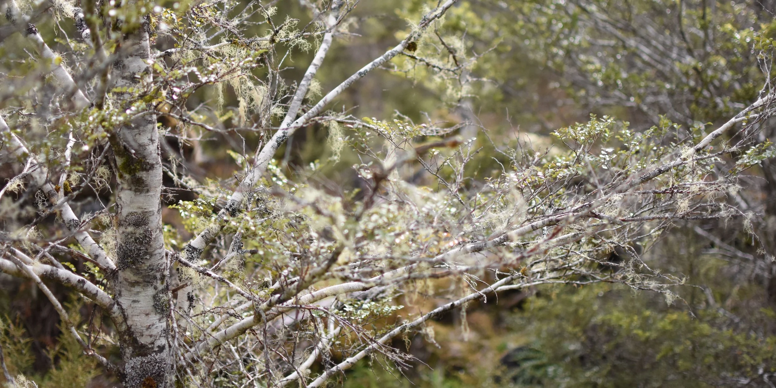
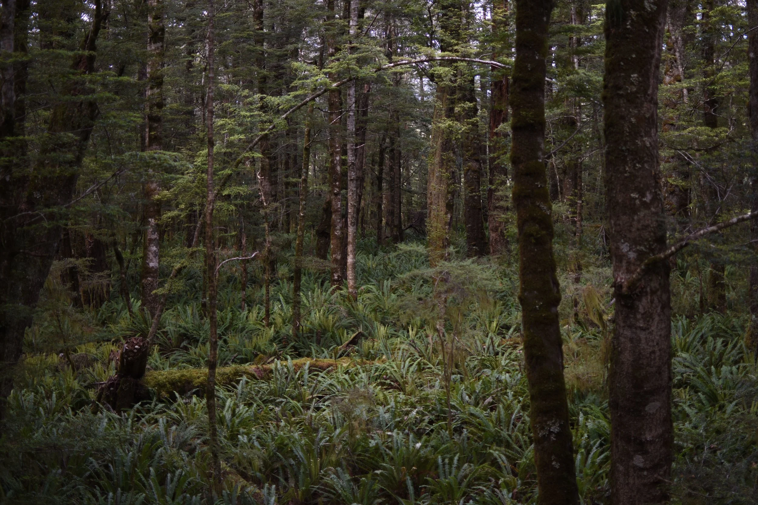
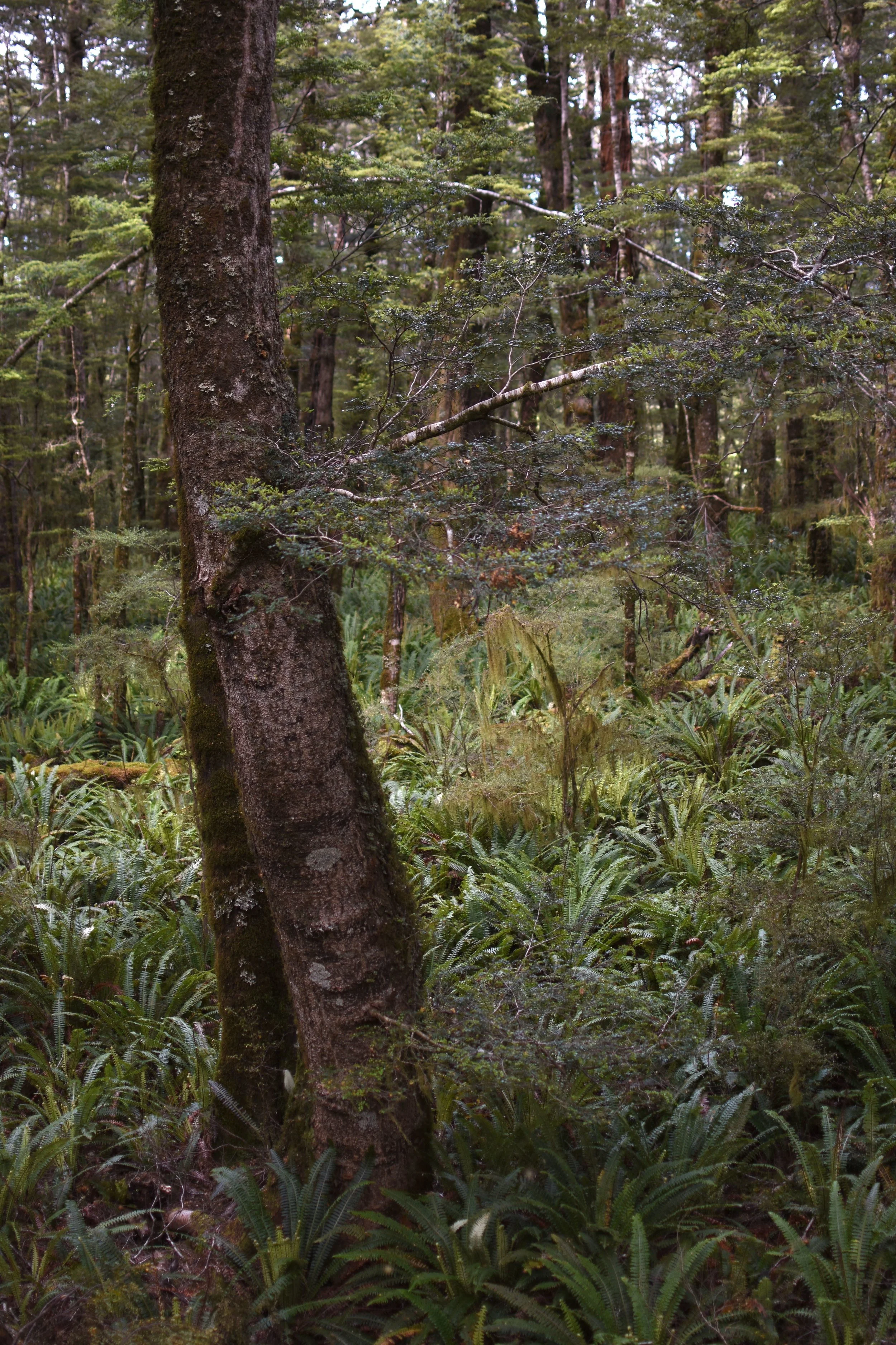
So much sunshine! I’m starting to feel a bit deprived of the authentic fiordland experience as i’ve hardly seen any rain. Again, another great problem to be having. The first days hike winds along the shore of Lake Te Anau and eventually starts making its way up out of the beech forest to the Luxmore hut on the shoulder of (you guessed it) Mount Luxmore.
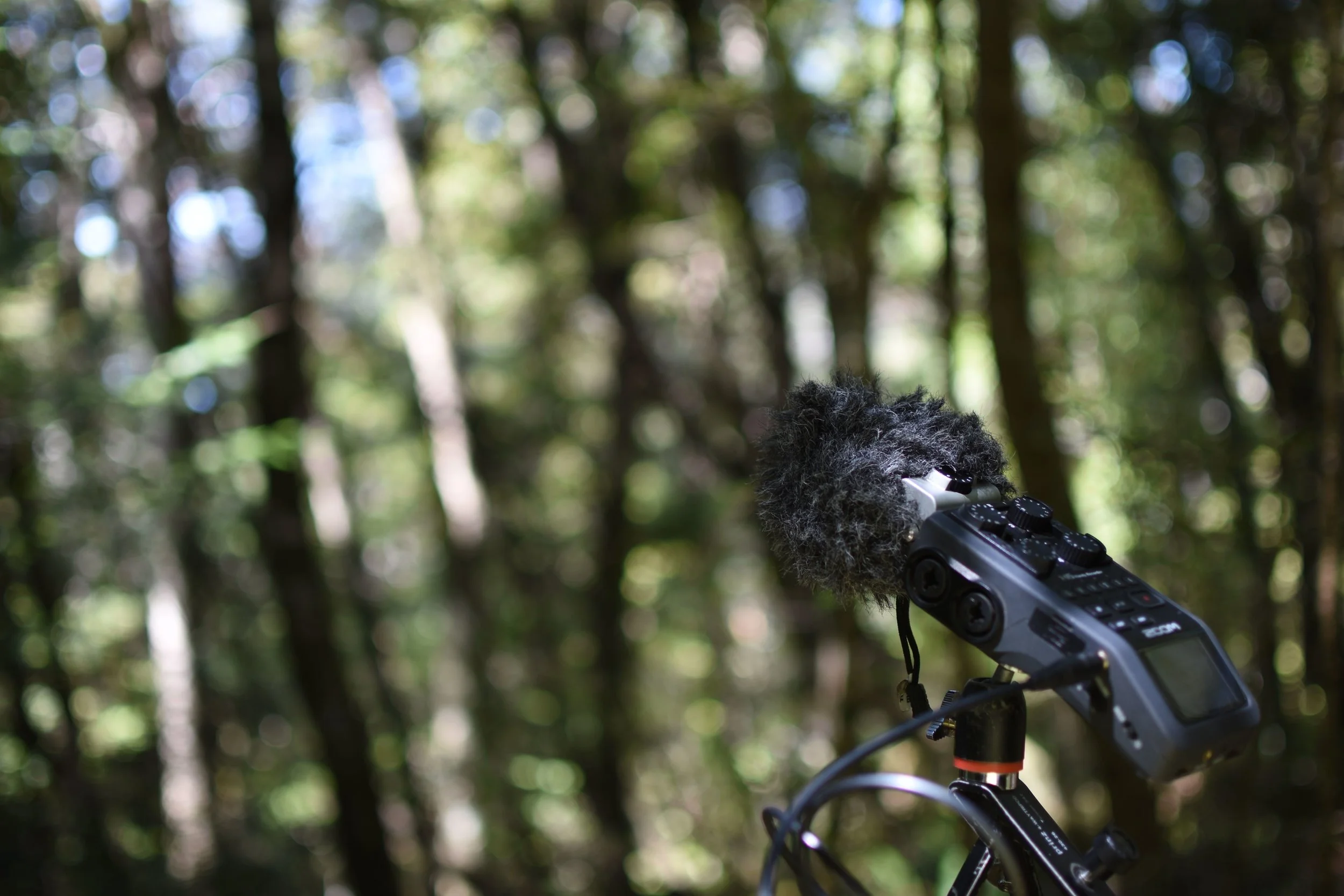
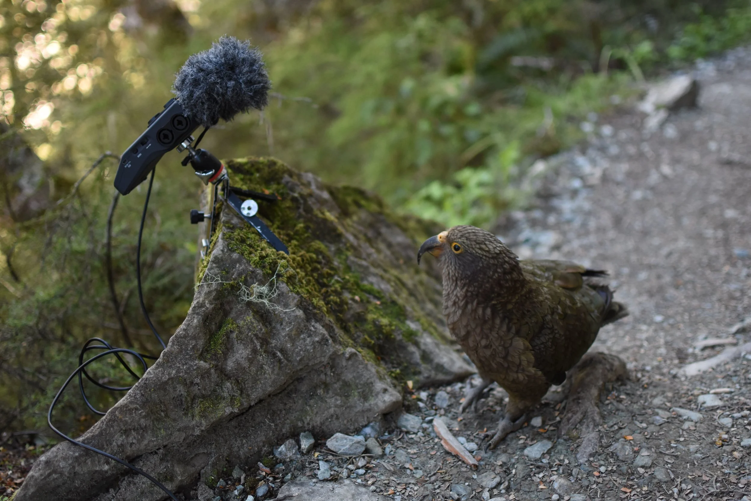
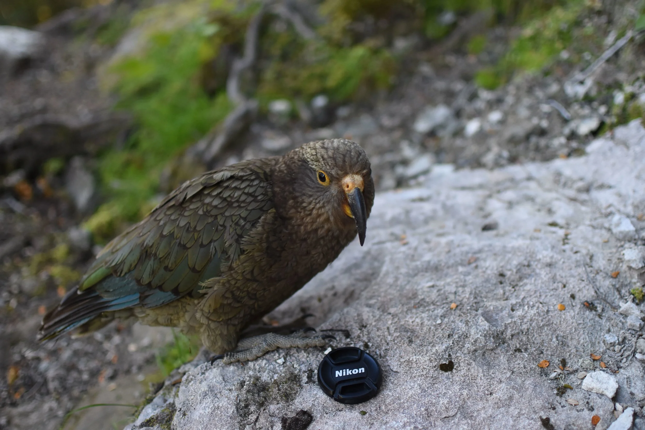
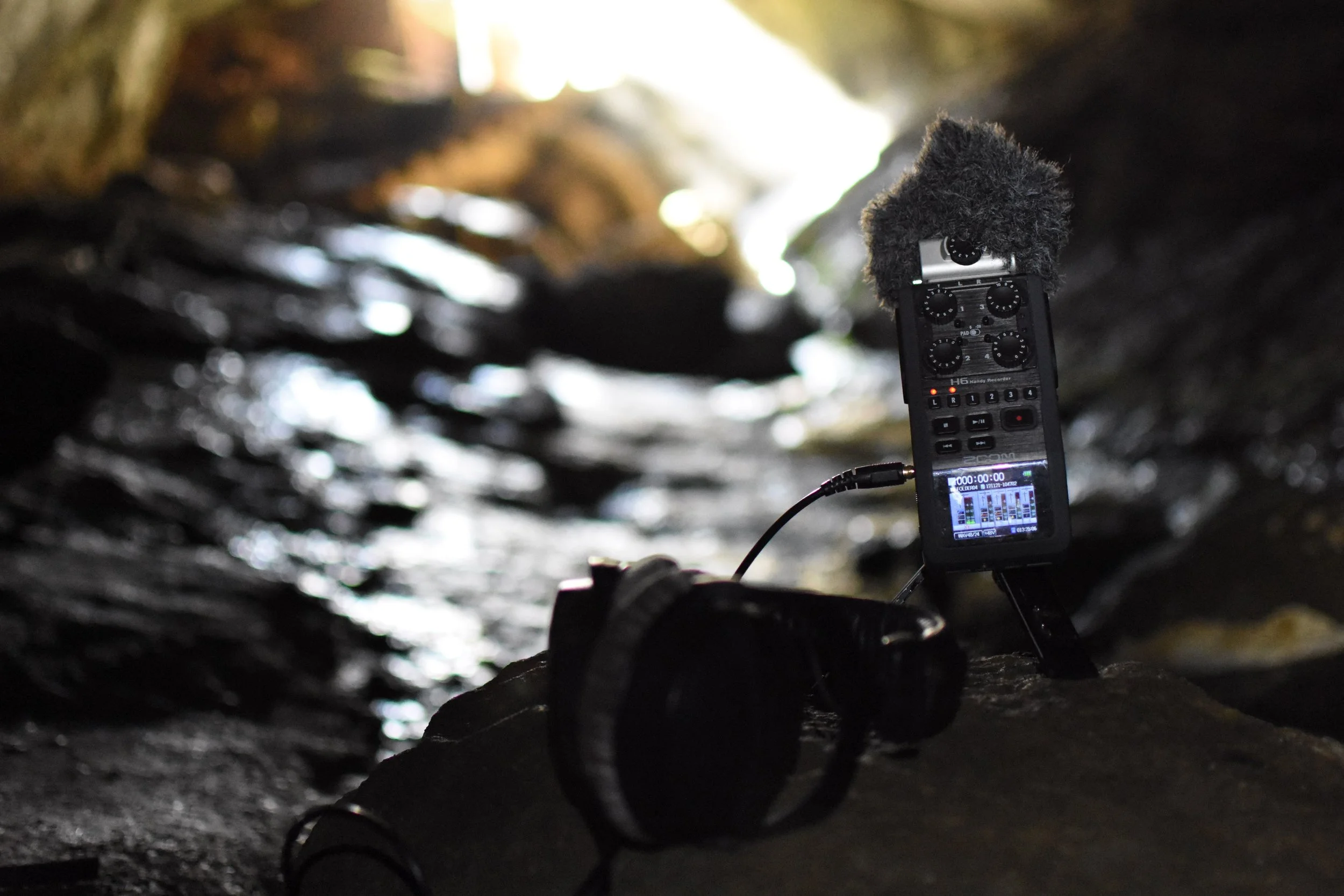
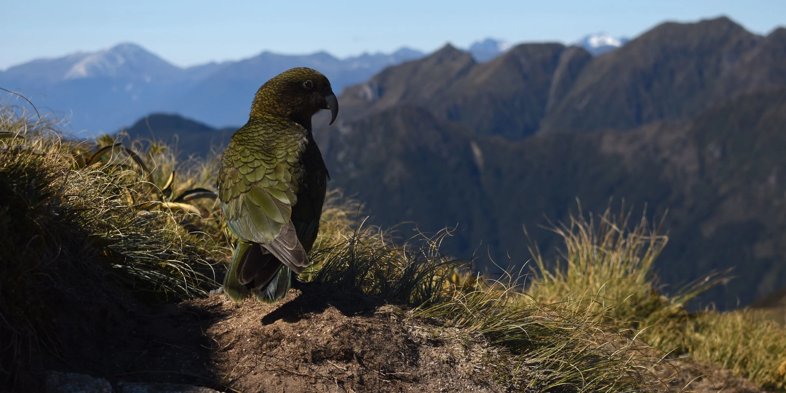
About three quarters of the way to the hut, I made a stop at these big limestone bluffs near the top of the forest to get a recording. The bluff was reflecting back a nice composite of all of the forest sounds below. With my eyes closed, listening to forest, I started to hear a bit of a rustle behind me. Looking towards the sound I saw it was this cheeky alpine parrot called a Kea, and he was dragging my camera by the strap down the trail! He was a pretty curious fellow, and when I went to grab my camera, we had a bit of a standoff as he kept trying to taste my recorder and my headphones, now on the trail behind me. After about ten minutes of this exchange, we agreed to go our separate ways, and I made sure to check my pockets for everything important as I walked away.
I was the last one to hit the trail head, and as such the last one at the hut. I think for most people “hut” has the connotation of being a very basic structure. While hut is the term they use down here, cabin feels more appropriate, as these have running water, flush toilets, stoves, and giant windows.
Anyways it was a nice change of pace to camping, and offers the opportunity for some varied conversation. The cool thing about these tracks is how international the community hiking them is. Although for some reason everywhere I go seems disproportionately wighted towards Germans and French. I guess with all that paid vacation time, NZ is the place to be.
Finished off the day with a quick trip to the Luxmore caves. I only ventured into the mouth, but it was nice to cool off and get some interesting cave recordings. I might have started out the day feeling a bit pensive and tired, but by now I was resolved to hit the trail before the sun rose and get the most out of the days to come.
Day two:
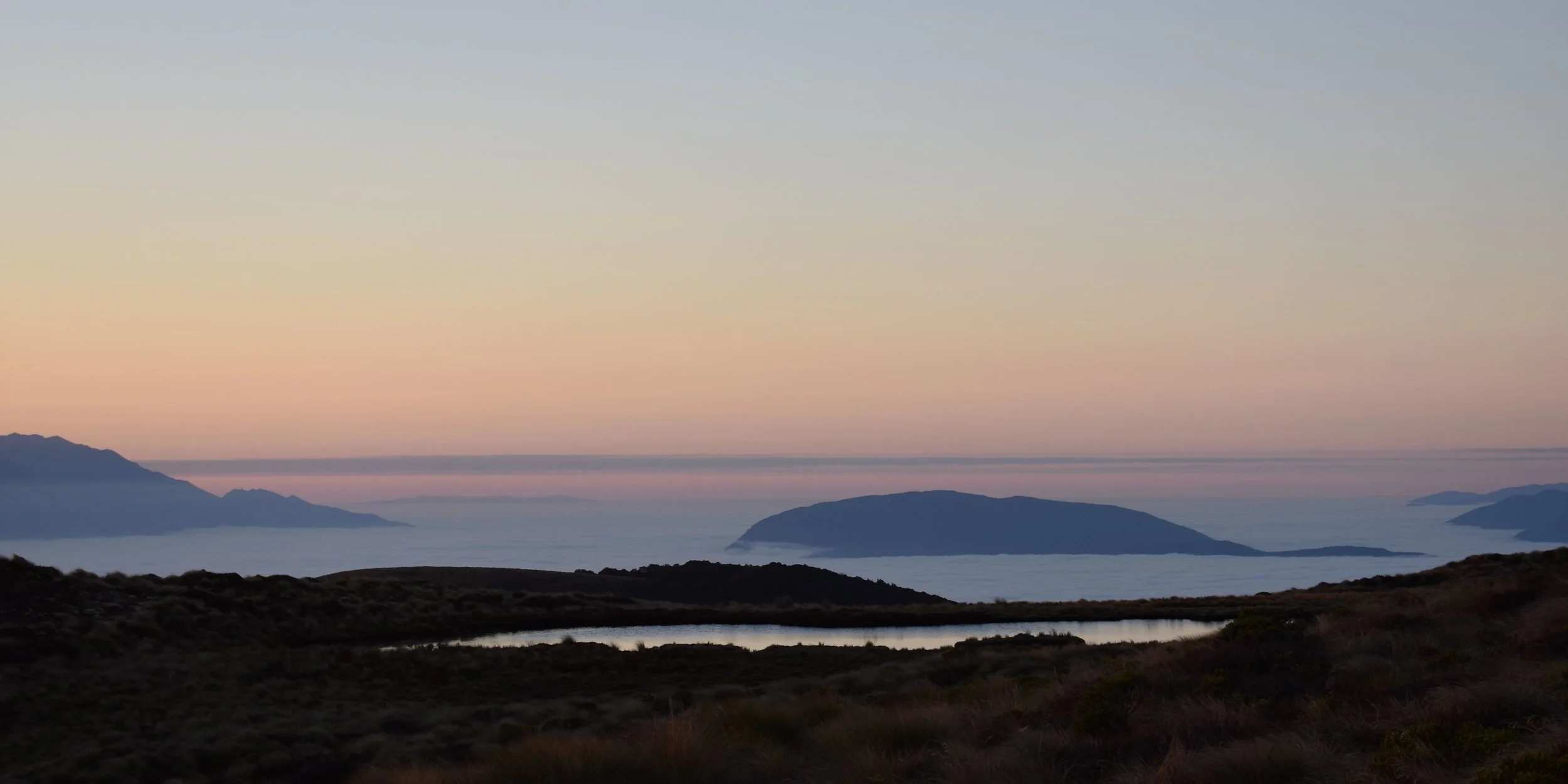
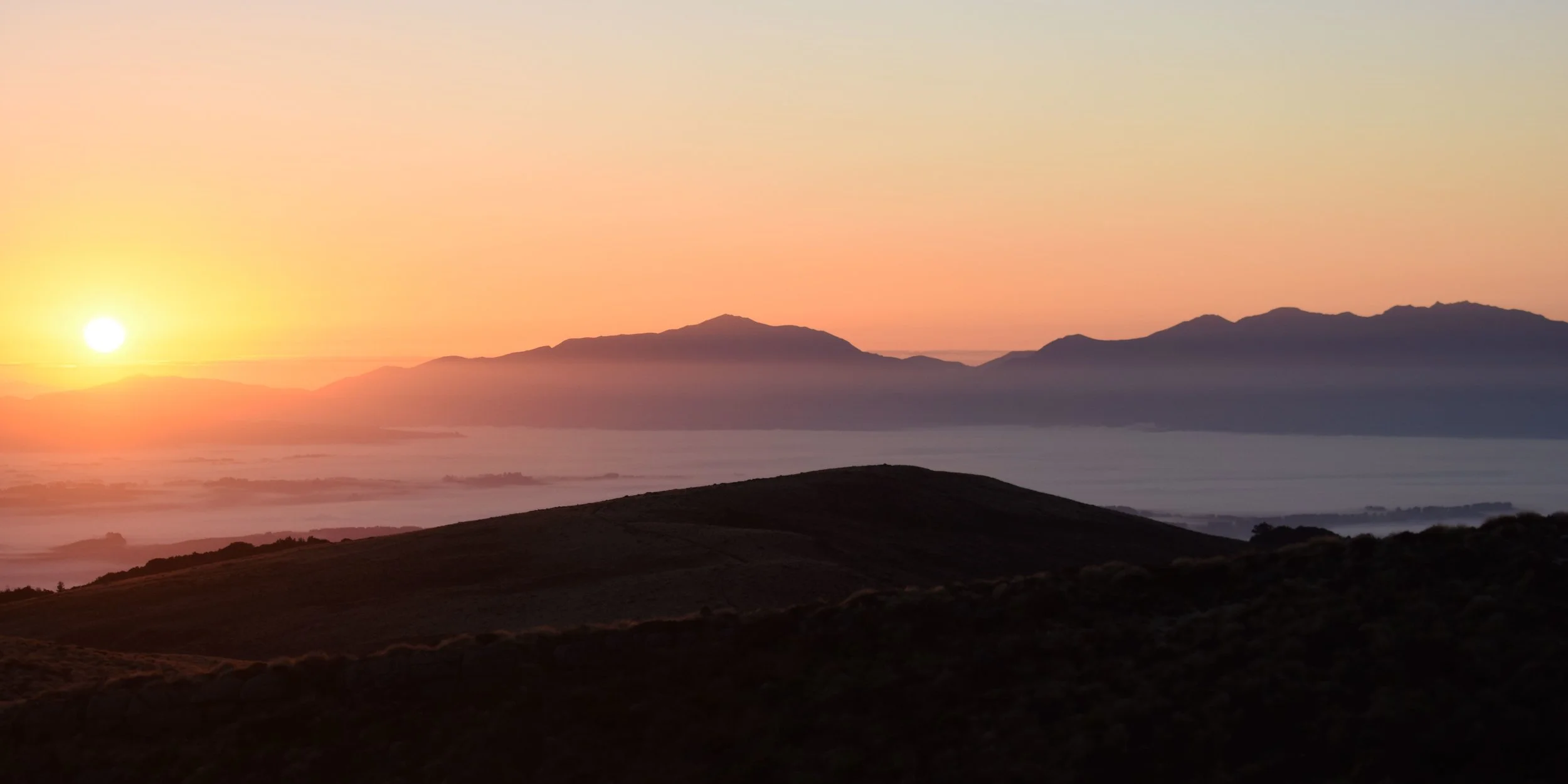
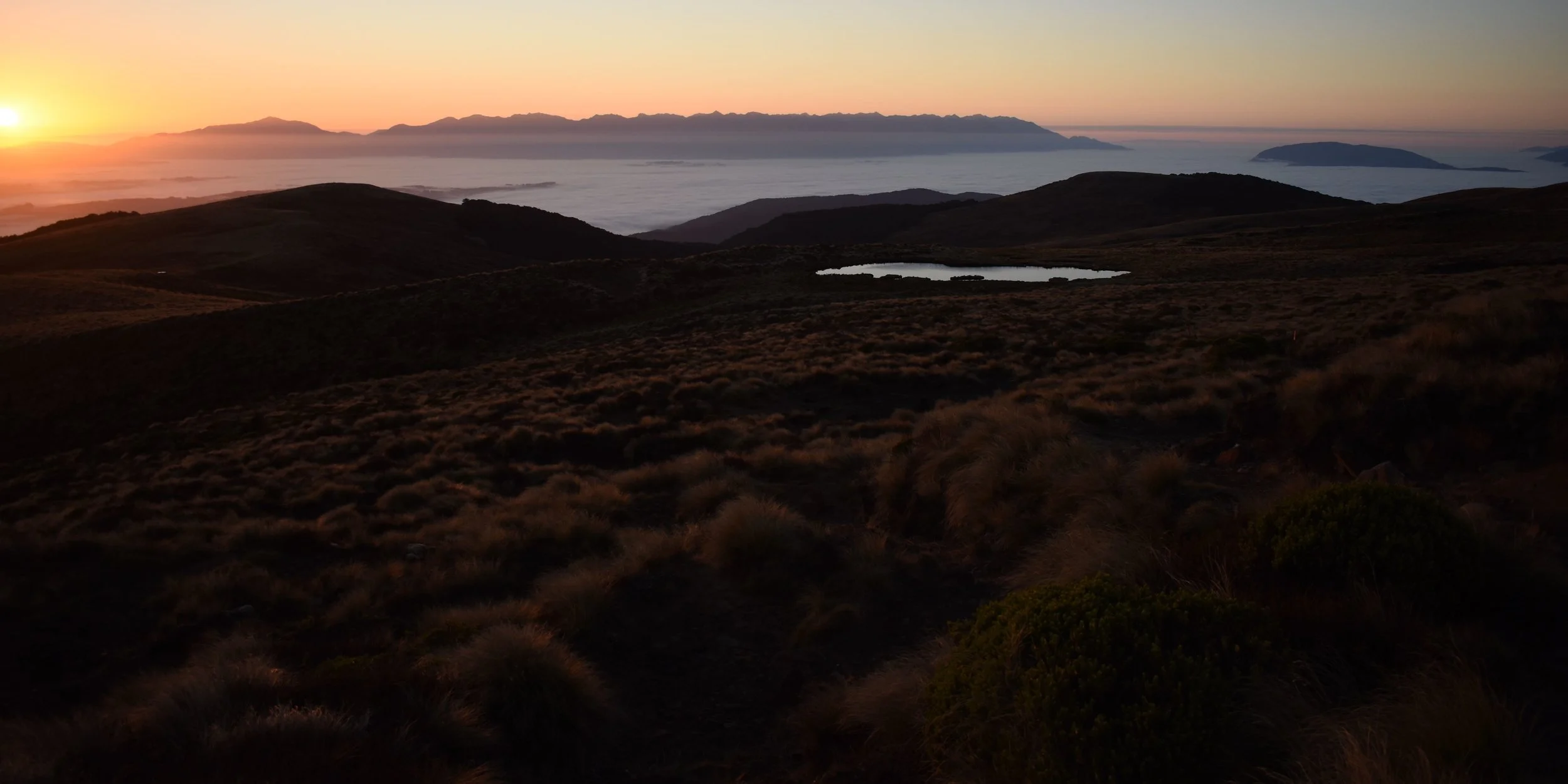
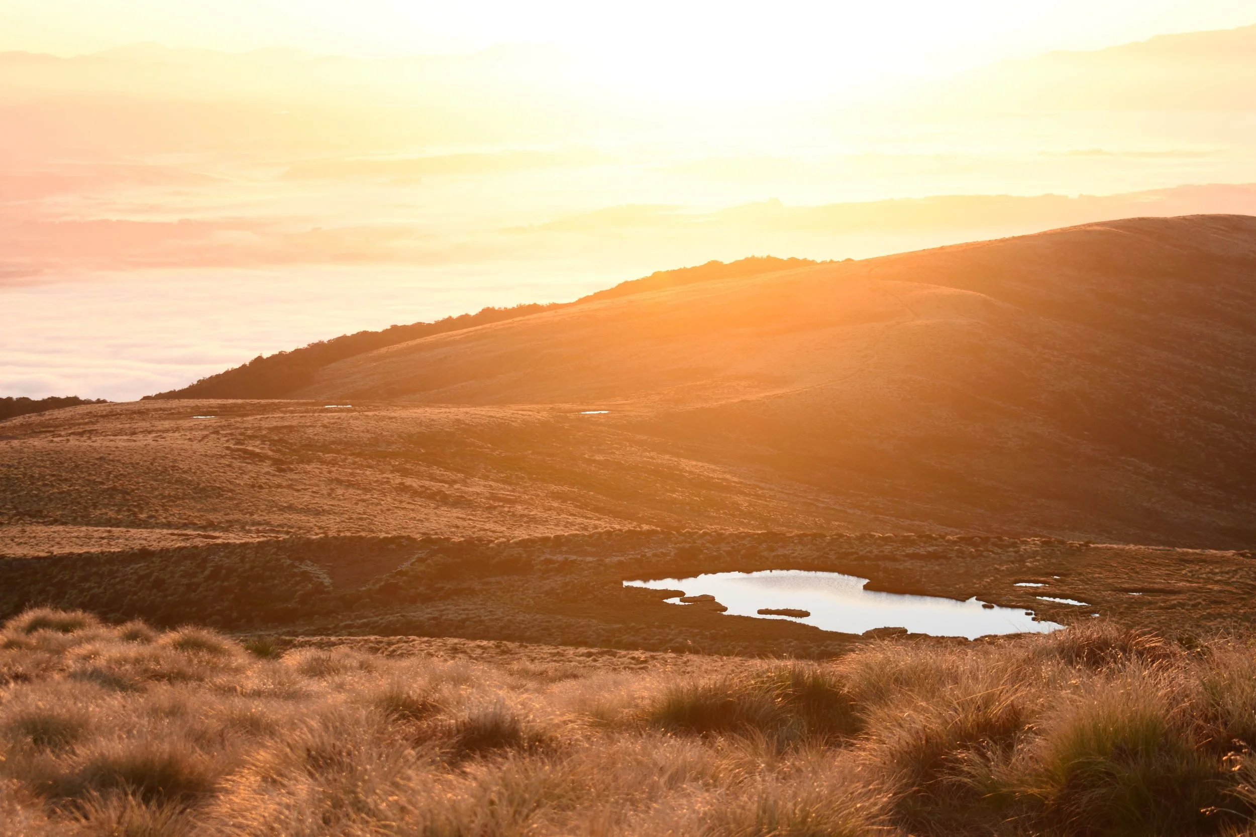
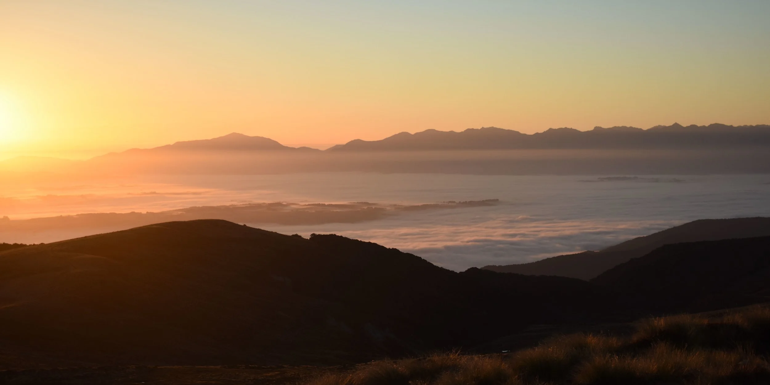
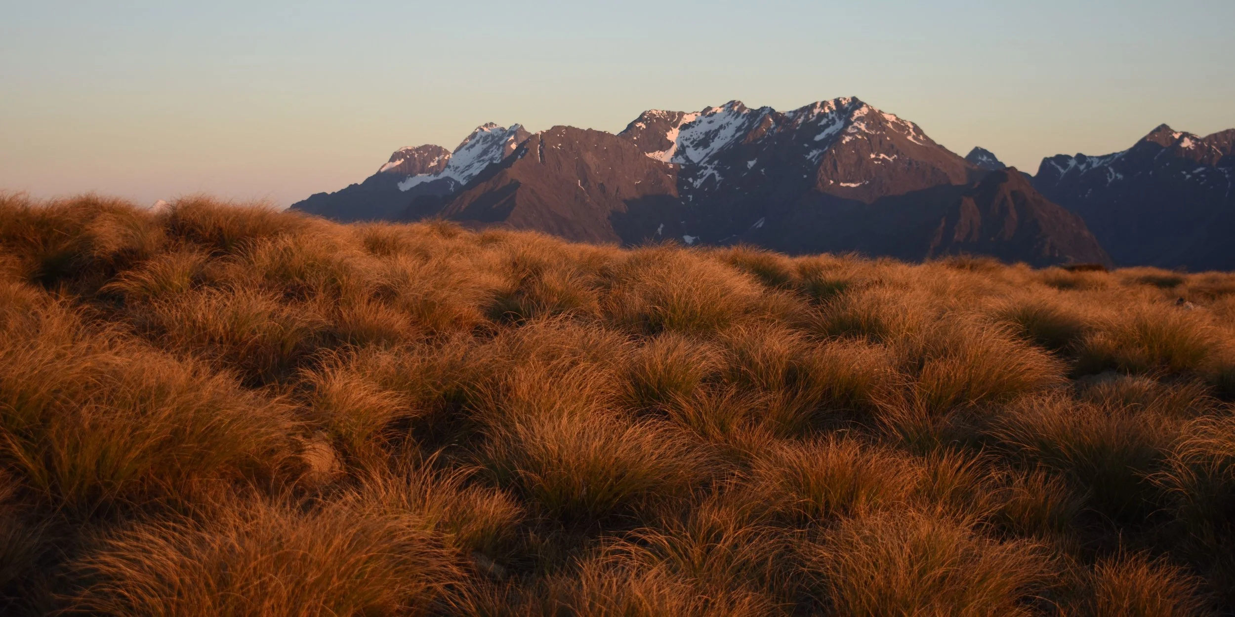
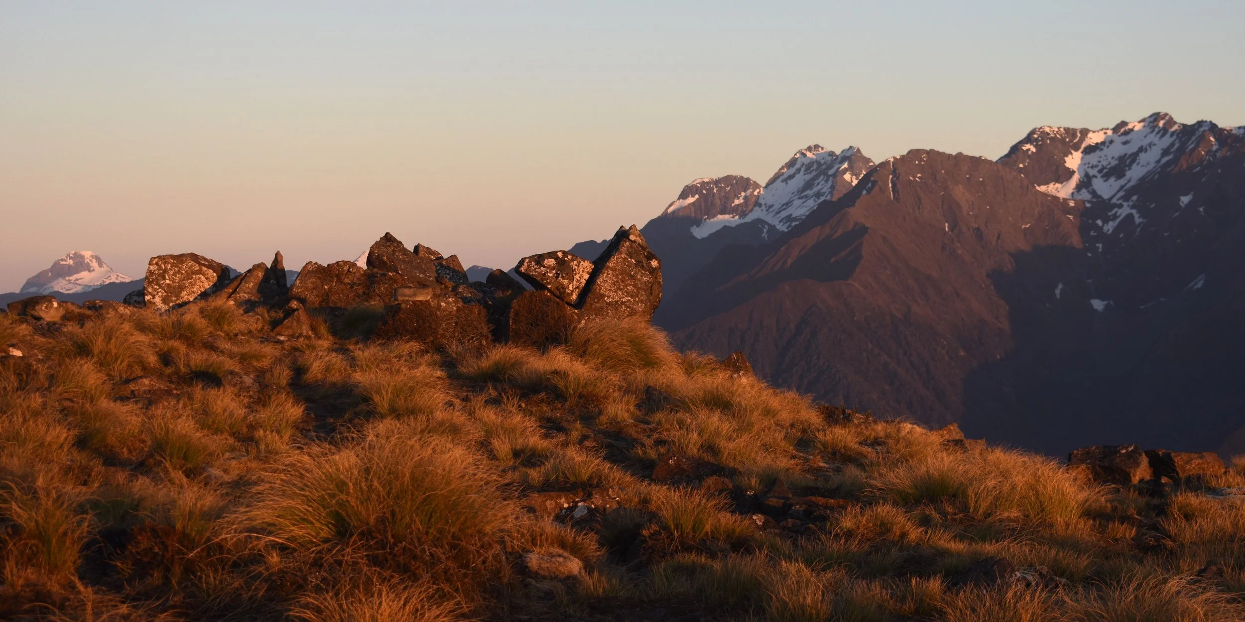
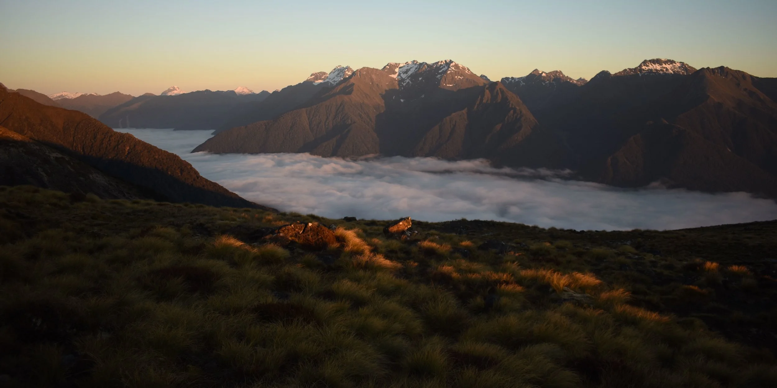
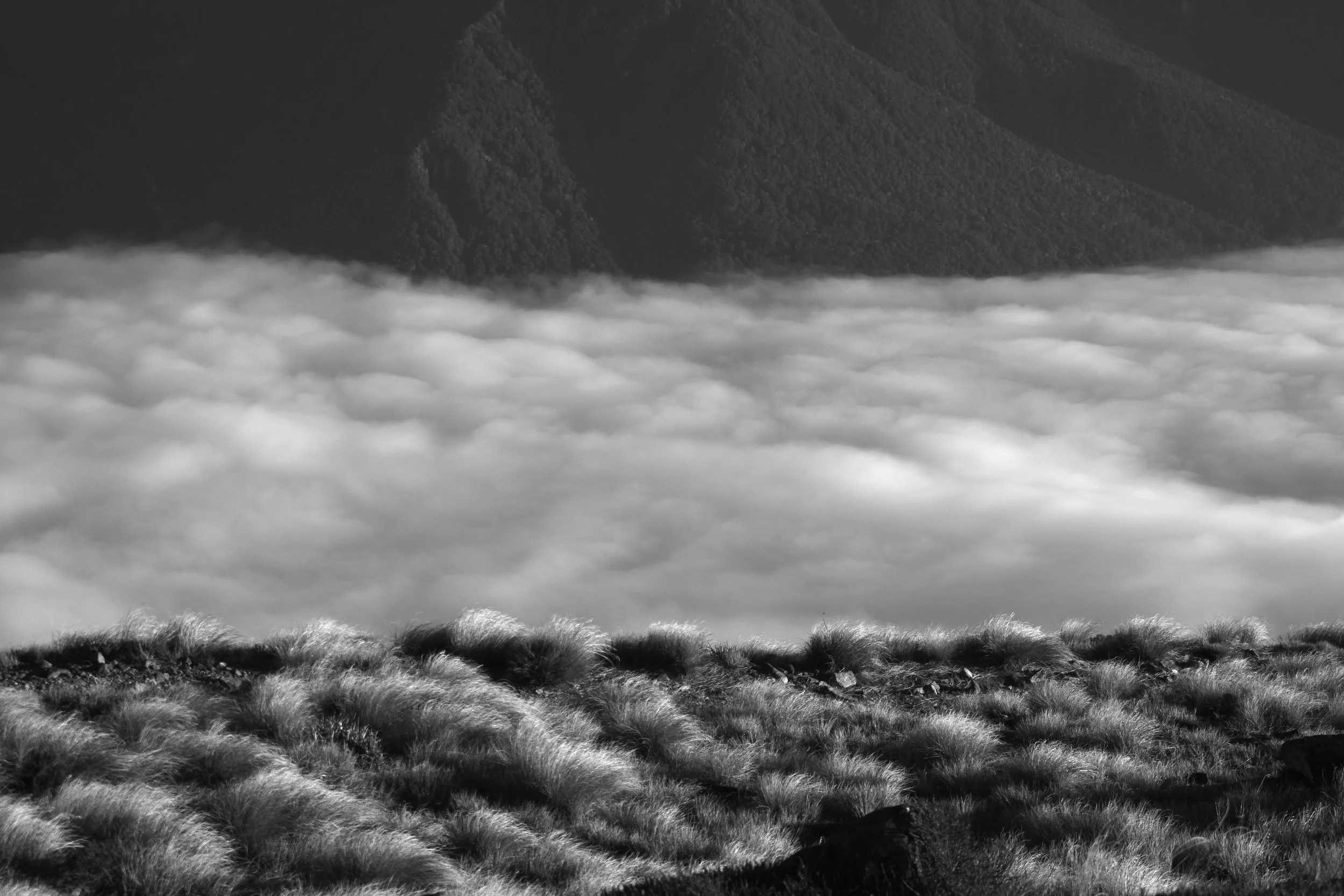
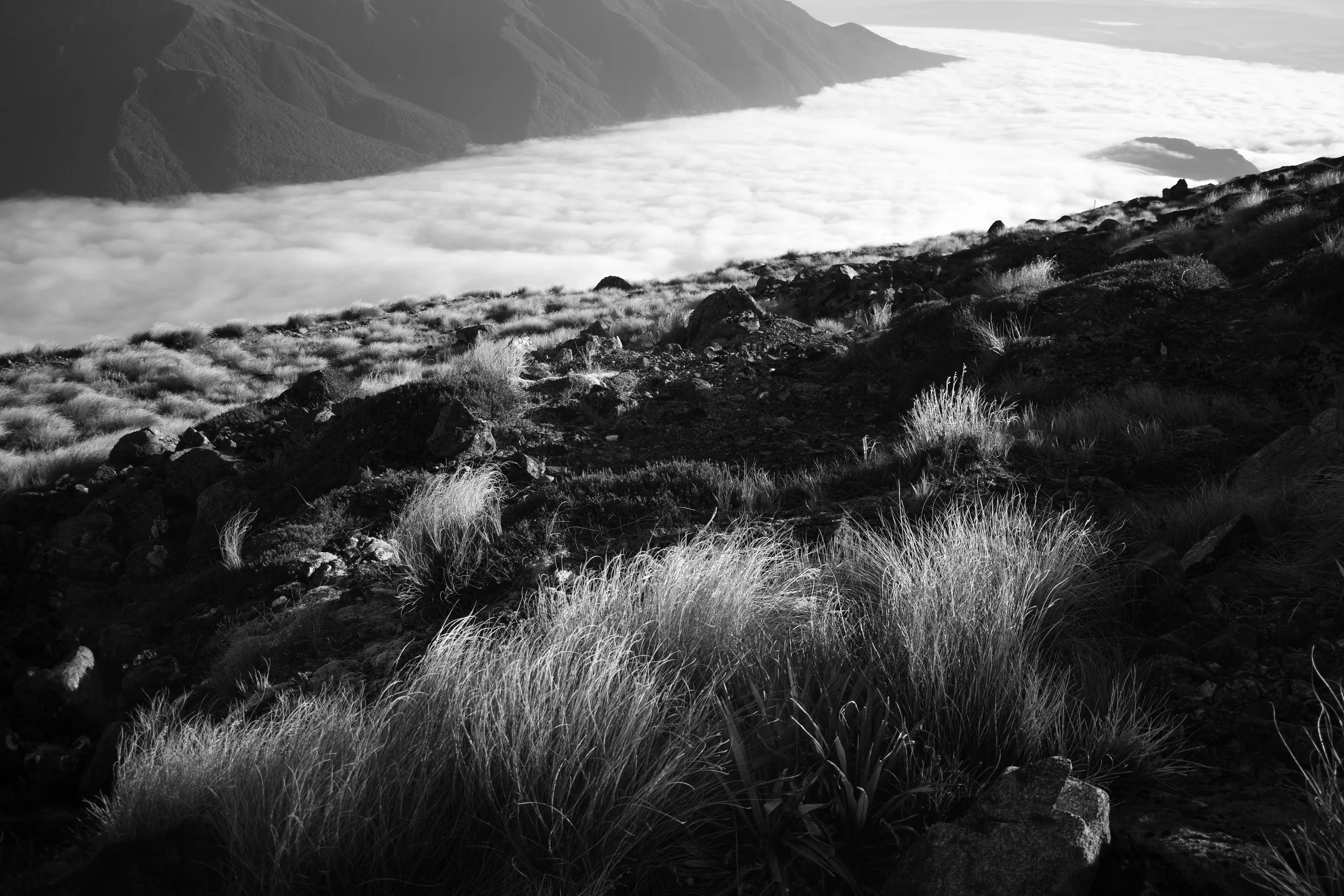
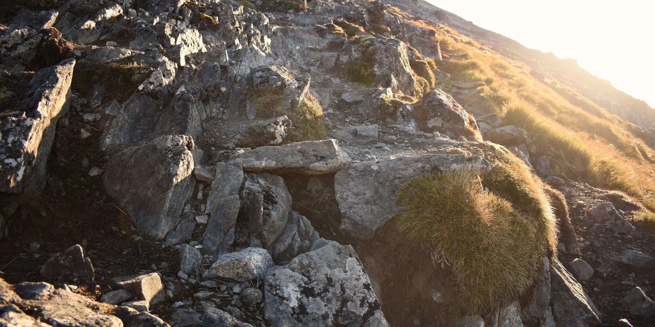
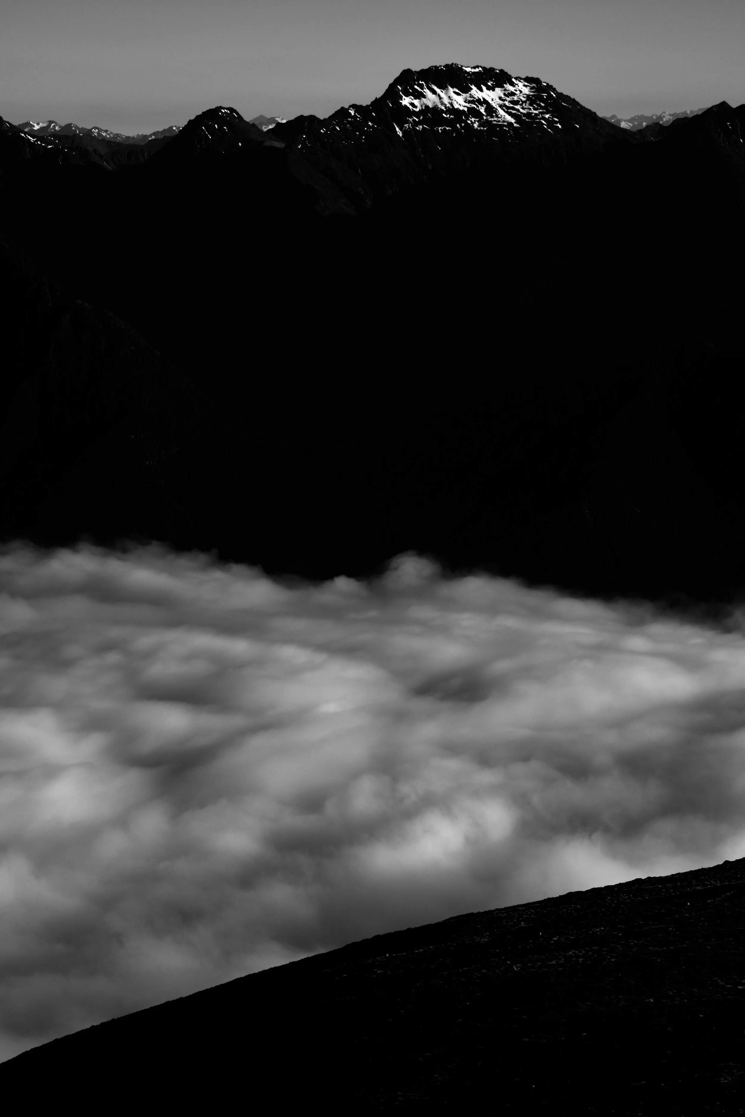
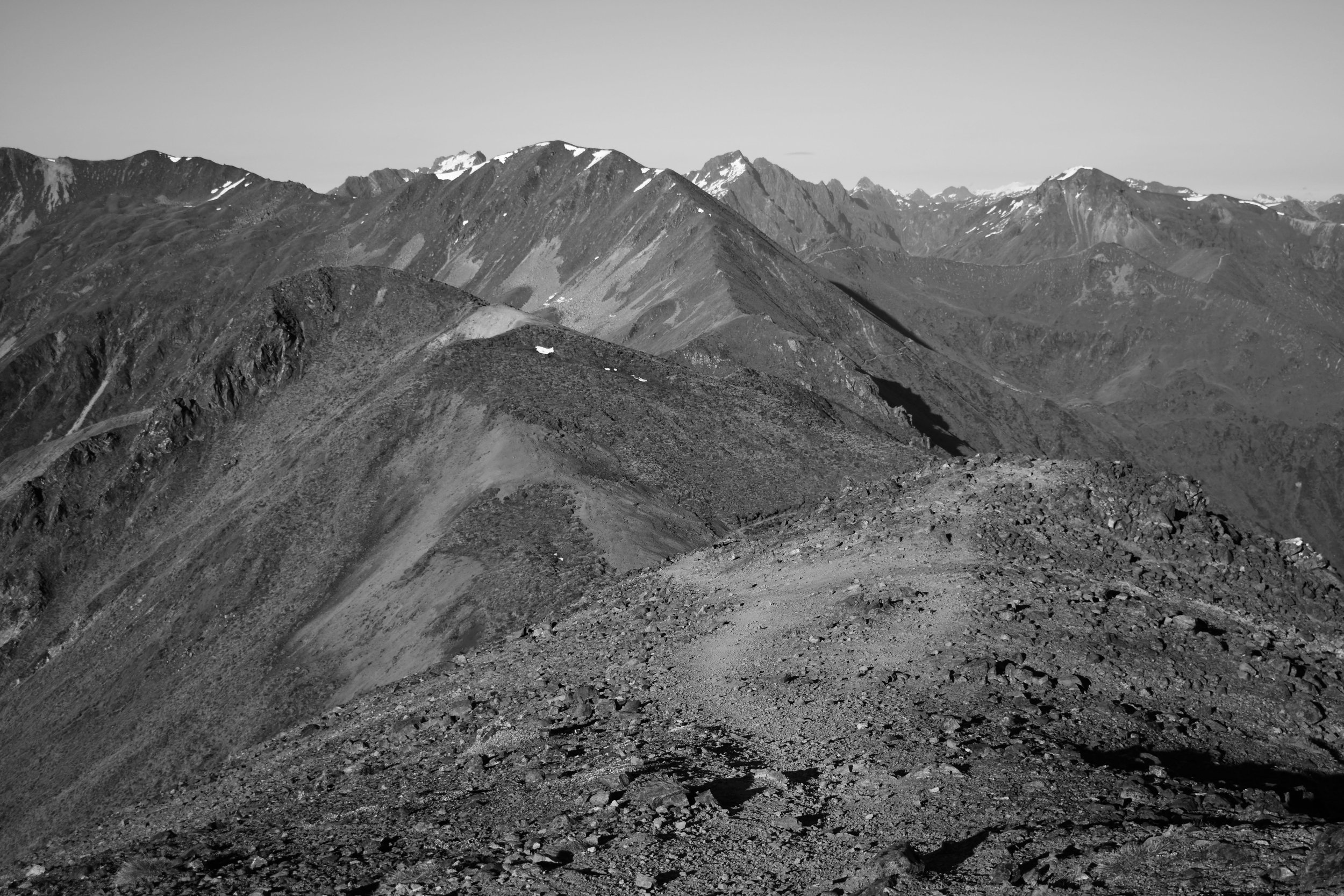
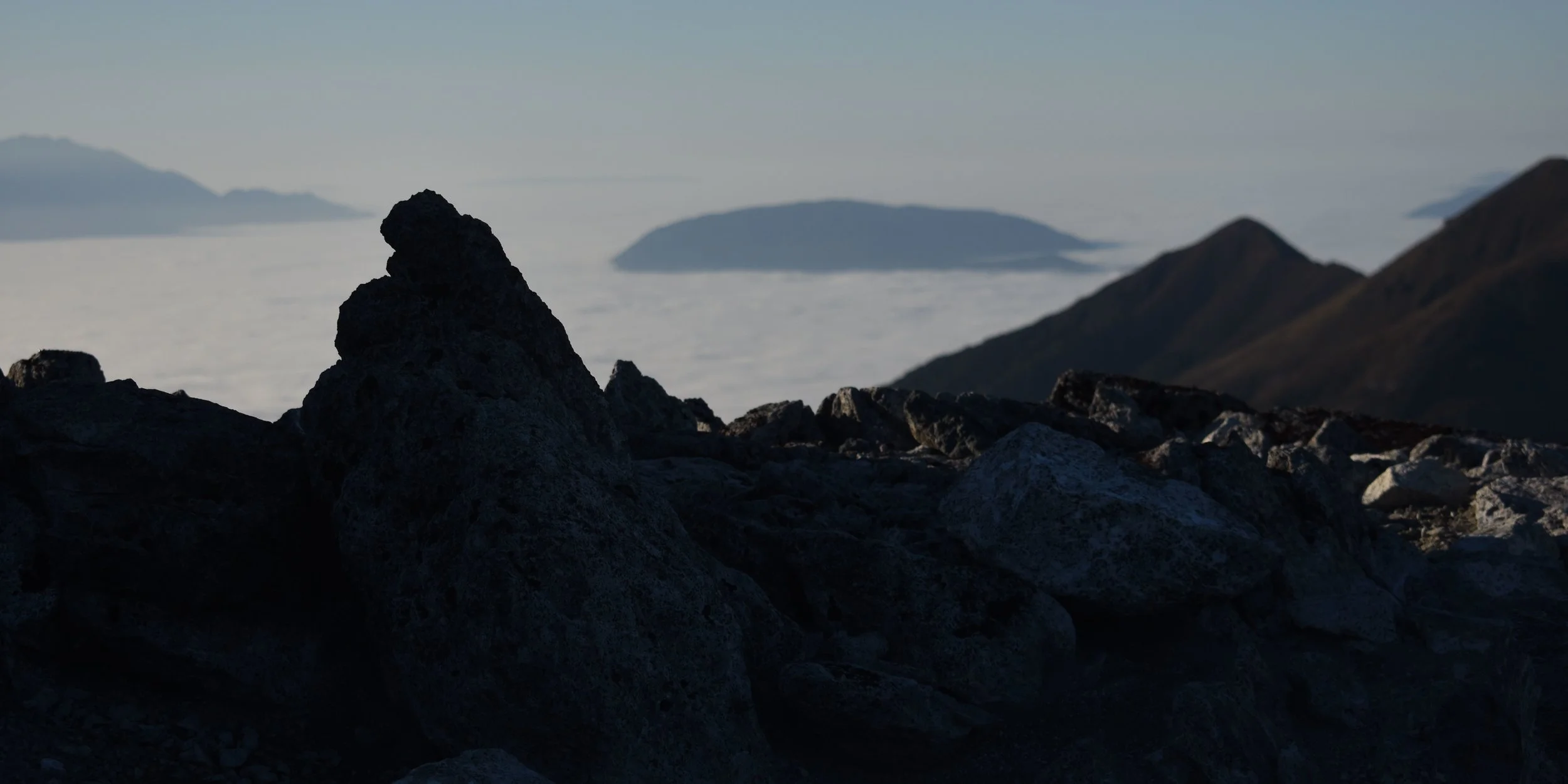
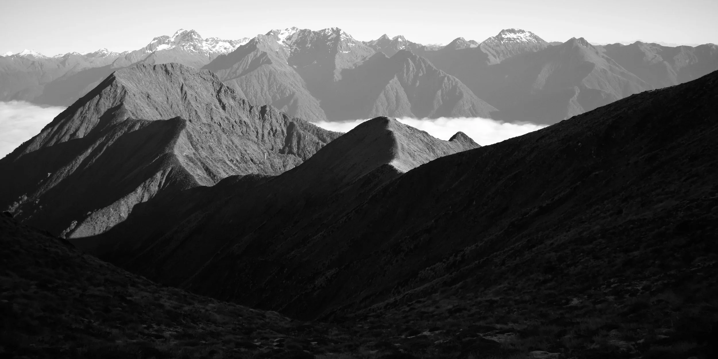
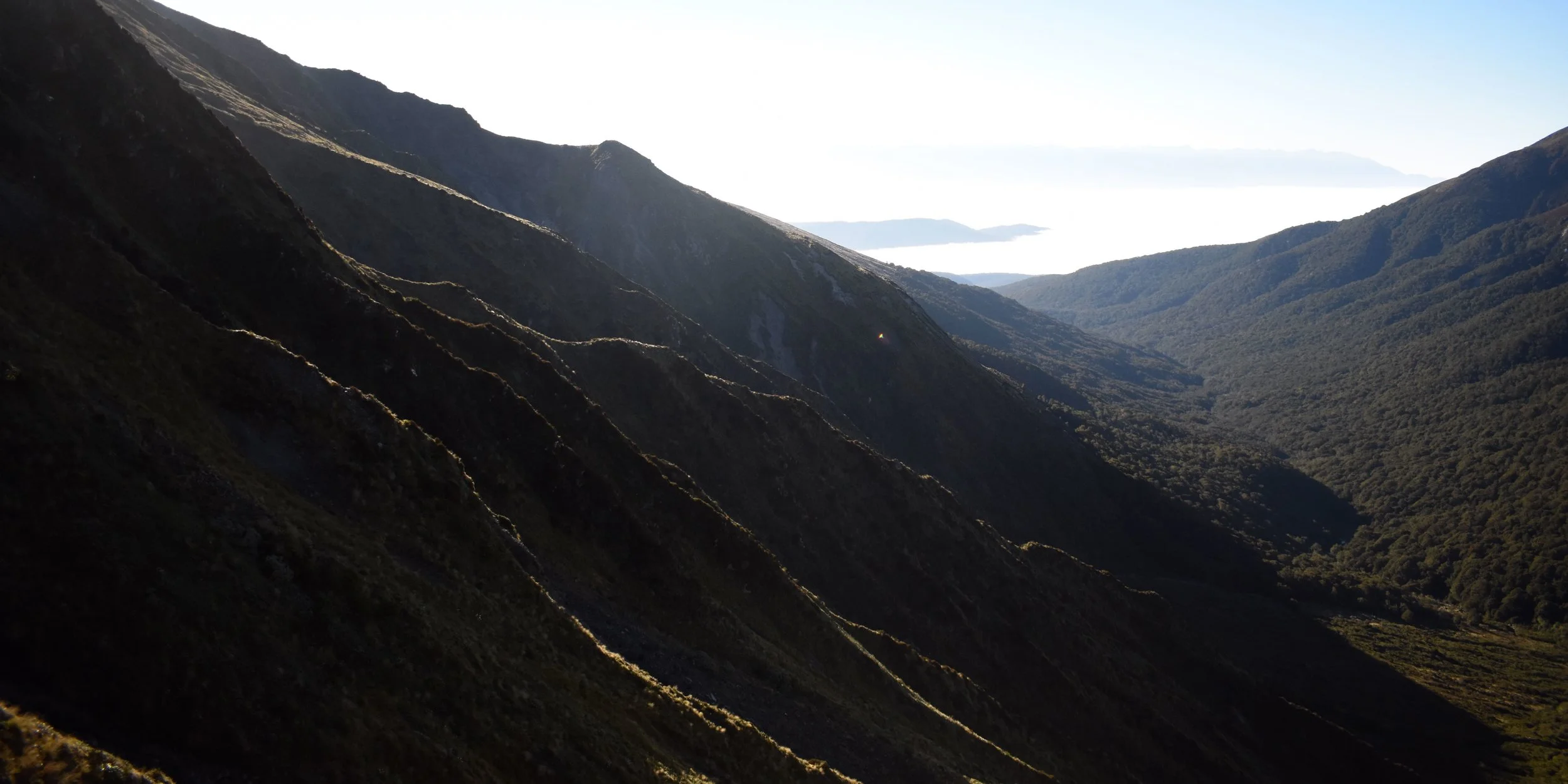
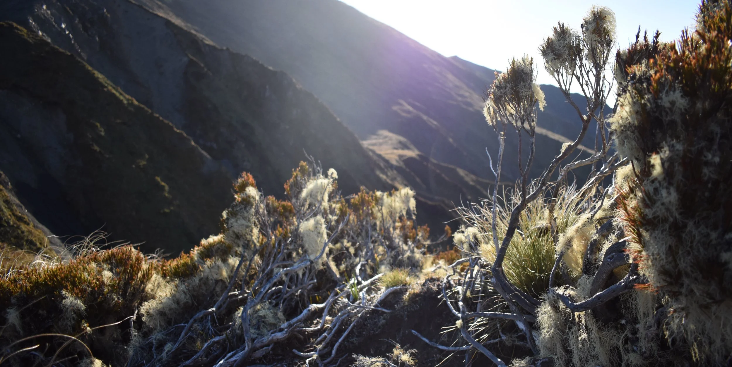
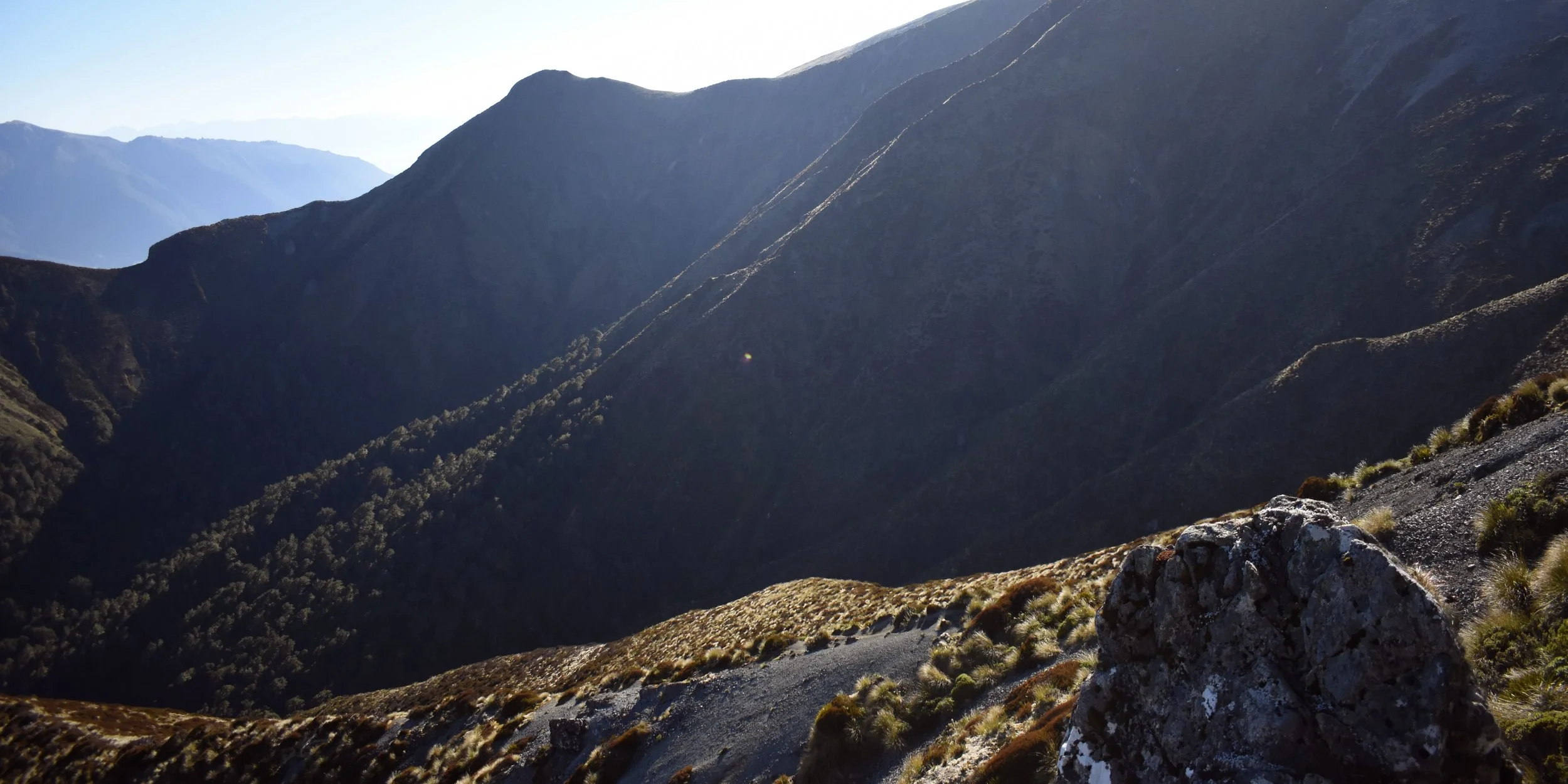
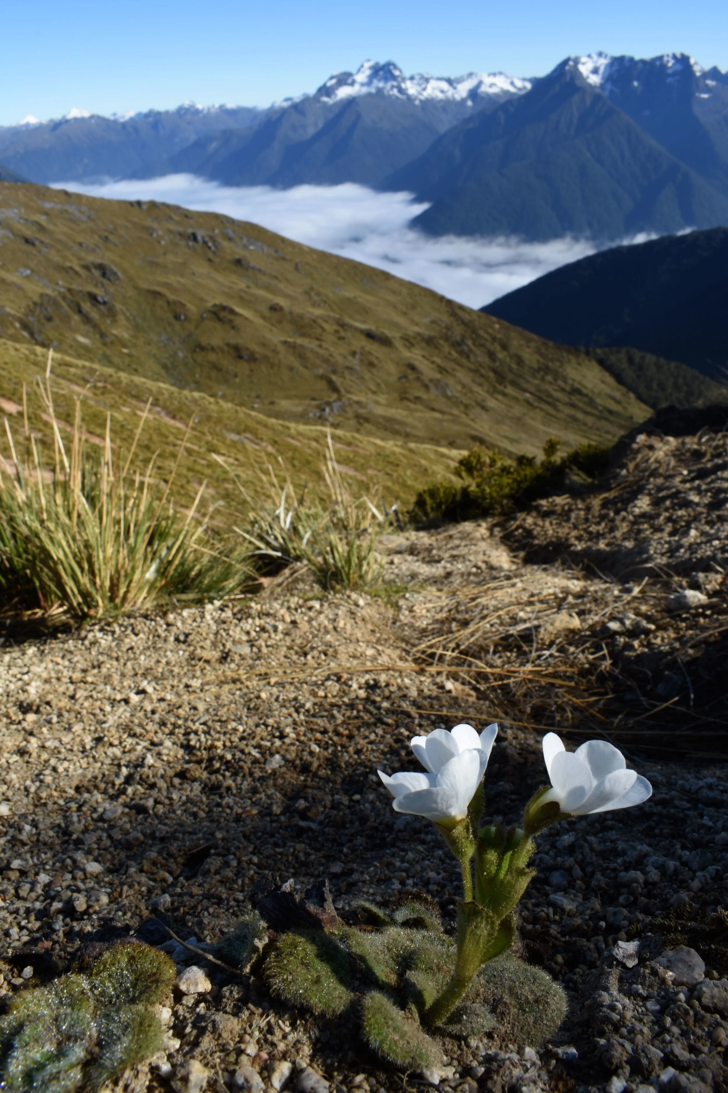
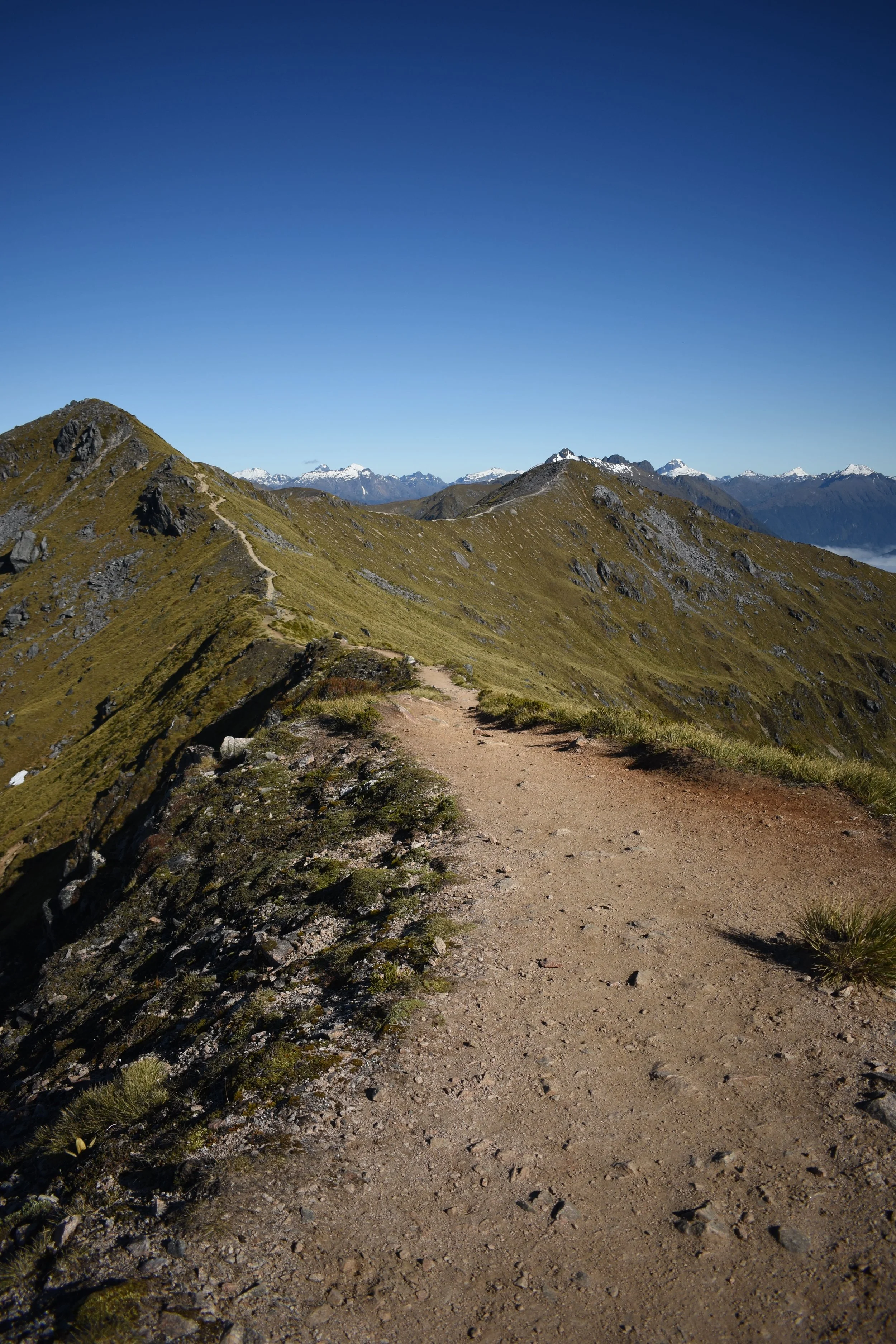
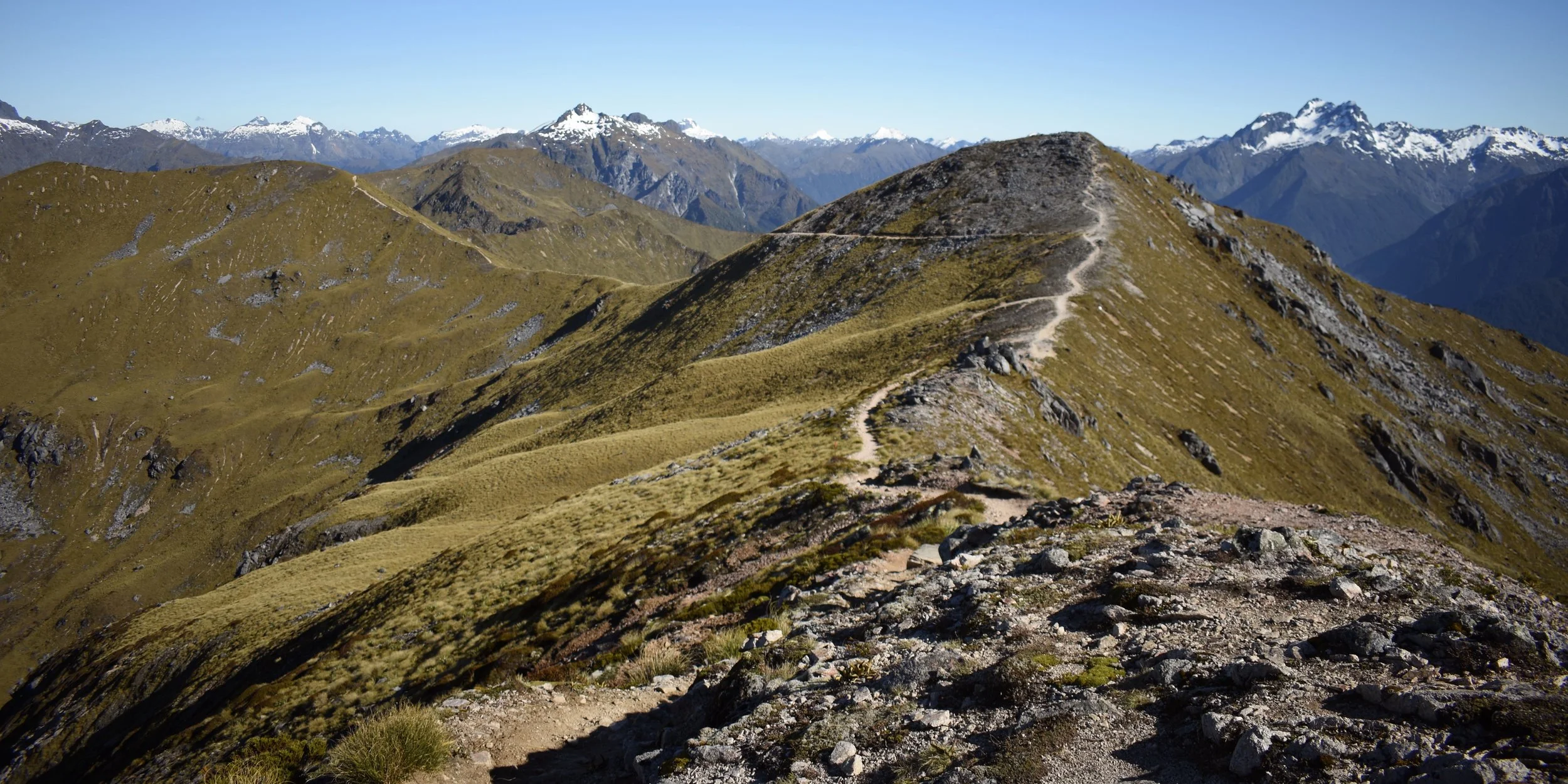
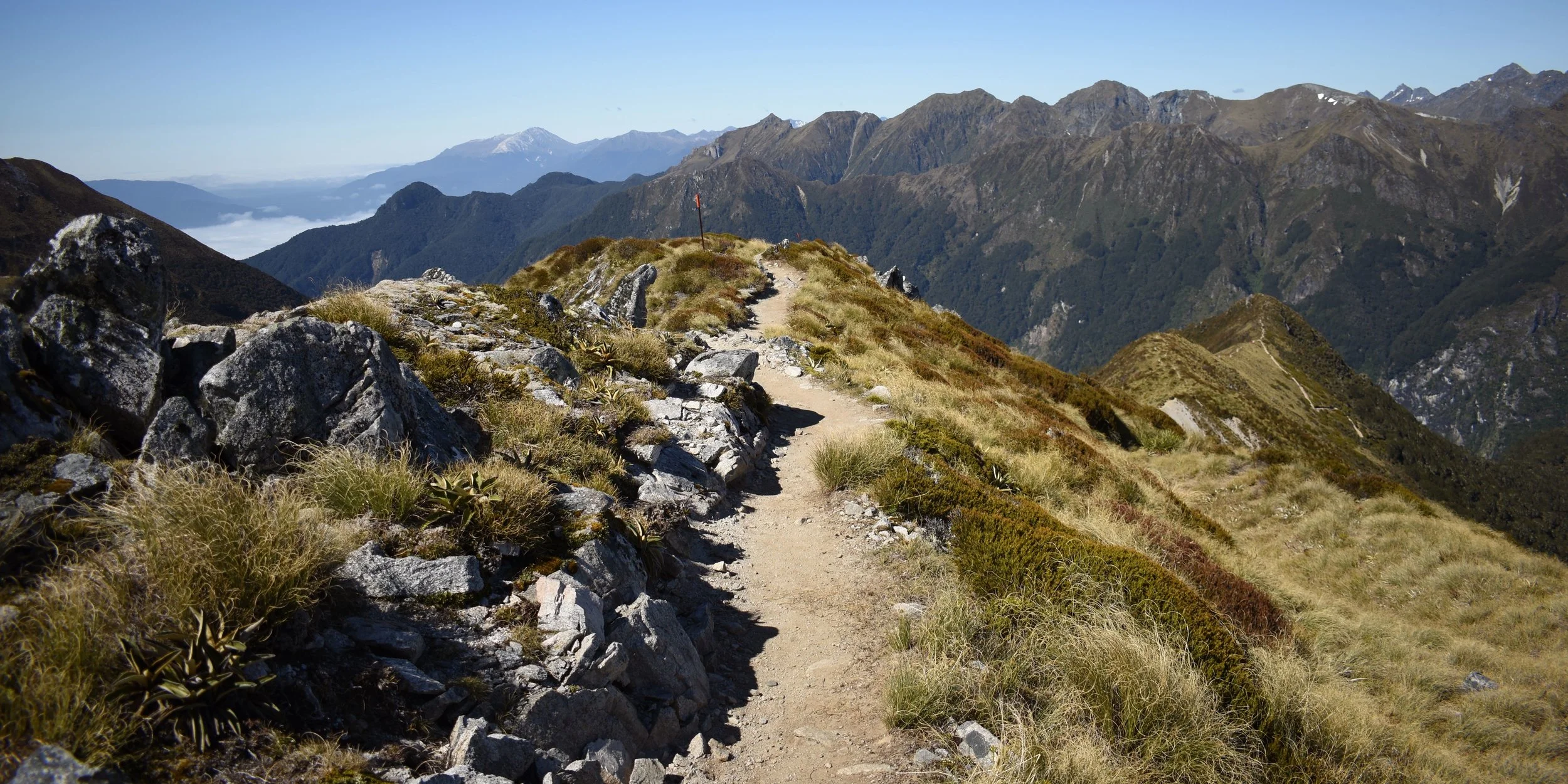
This days walk was to be almost entirely on the ridge line of the mountain, with no shade and no water sources. I guess NZ has a decent sized hole in the ozone layer above them, so the sun also always feels an extra bit intense too. With this in mind, I decided to start out with the twilight just before 6am. The lake and countryside below was completely covered in low clouds, making the hike feel all the more mysterious in the morning. The view as the sun rose above the clouds was so gorgeous I put my headphones on and actually danced up that mountain. Carefully danced up, i should say, as it would have been quite a long tumble off of the track if I lost my footing.
After meeting a few more Kea along the ridge, I began the descent down to the Iris Burn hut. It’s probably about an hour’s worth of steep switchbacks down the side of a hanging valley. If I had been smarter, I would have booked myself all three nights in huts, but being my own travel agent also means living with my own questionable decisions. So I lugged my tent and cooking equipment on my back all four days to use just this one night.
I’ll preface this next bit with a positive message about sand flies. Unlike mosquitoes, sand fly larvae actually only grow in fast, clean flowing water. They actually help filter the water of contaminates. As such the sand fly population of a given area can be taken as a rough sign of the quality of the water and overall health of the ecosystem.
My campsite must have been one of the healthiest ecosystems in all of NZ. So healthy in fact, that by the time I set my tent up, there were literally hundreds of the little flying bloodsuckers swarming me and my tent. So After cleansing the inside of my tent, I resolved to take a nap and wait for the little vampires to go to bed with the sun. After dinner that night, I once again resolved to get an early start, this time to beat the flies.
Day three:
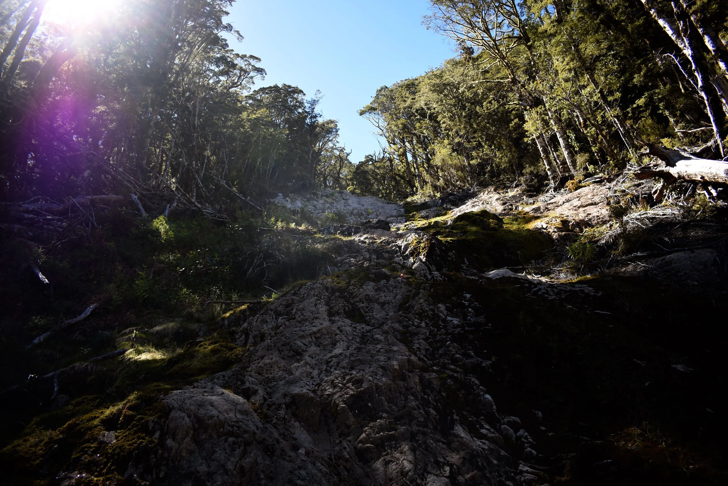
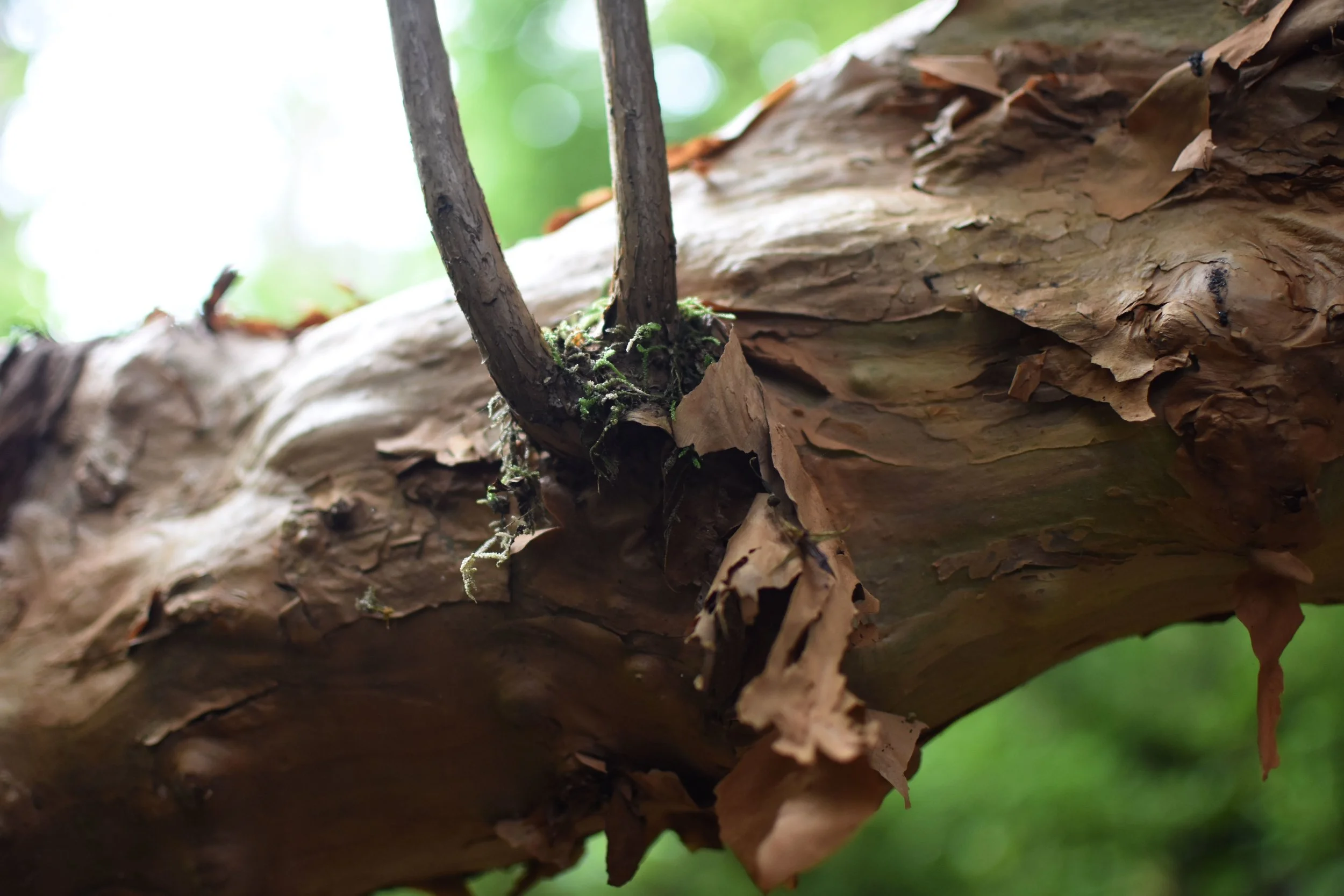
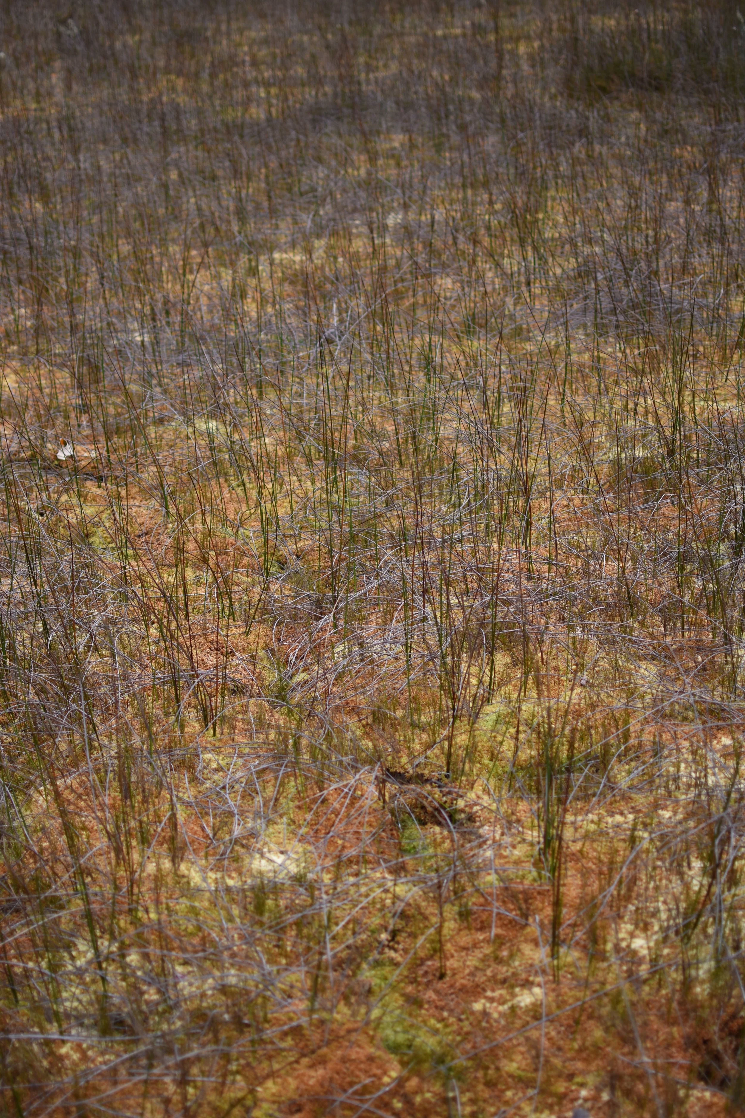
The third day of the track follows the river valley from Iris Burn down to lake Manupouri. It’s not too much elevation change, and was mostly beautiful beech forest along with a couple meadows. It was very well fernished forest too.
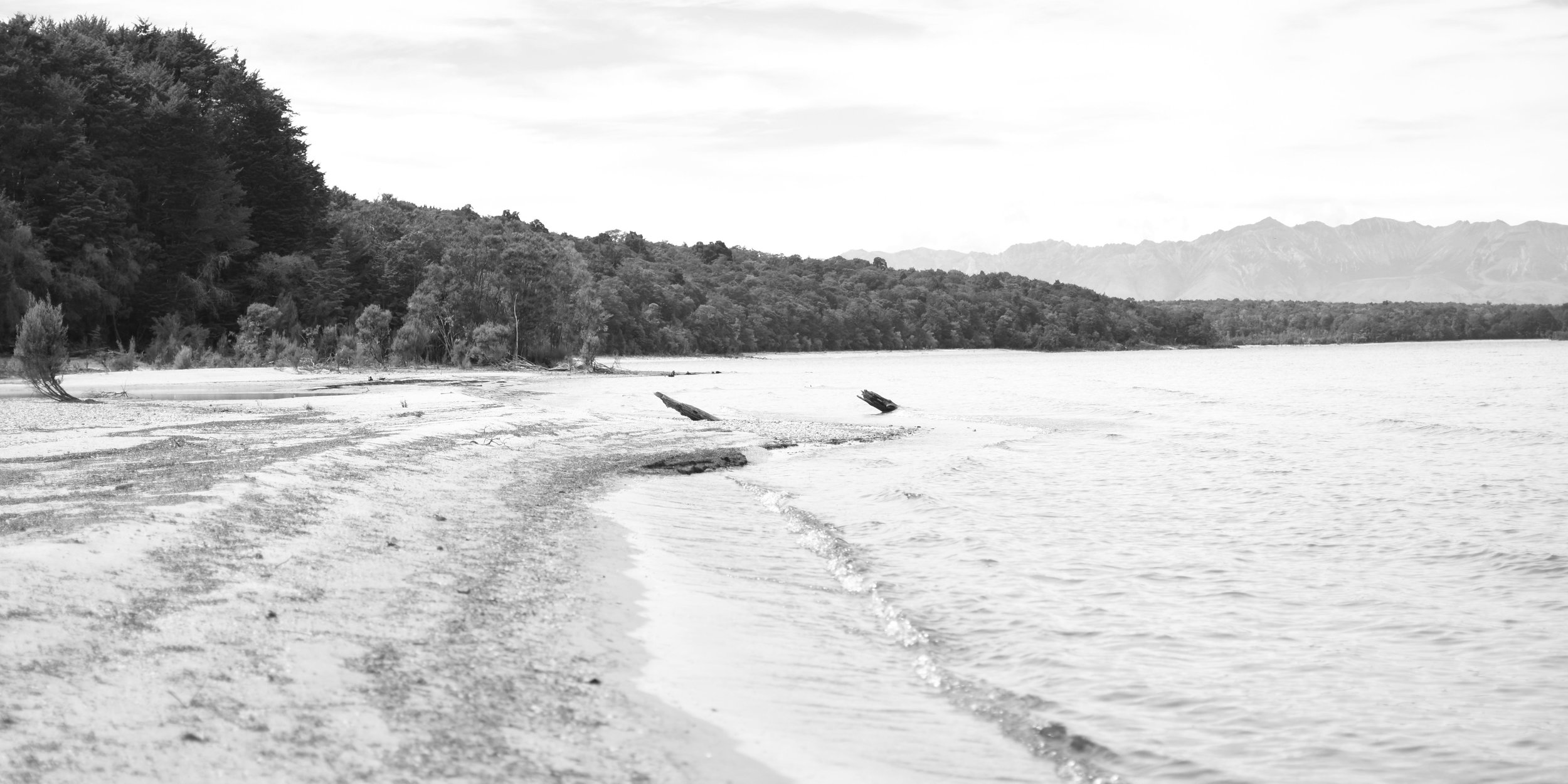
By the time I reached the lake, covered in multiple layers of sweat, dirt, sunscreen, and bug spray from the last three days, I was well ready for a swim. The lake was chilly, but not nearly so bad as some of the last few places I had swam. Once I dried off a bit, I continued on, and felt a bit silly upon realizing that that night’s hut was about ten minutes farther down the shore from where I jumped in.
After the previous night, I was grateful to be back in a hut, even if the sand flies weren’t so bad here. Finished off the day with another nice long swim, and out of what was starting to feel like habit, resolved to get another early start the next day. I wasn’t even in my sleeping bag yet and I was already dreaming of pizza and beer.
Day four:
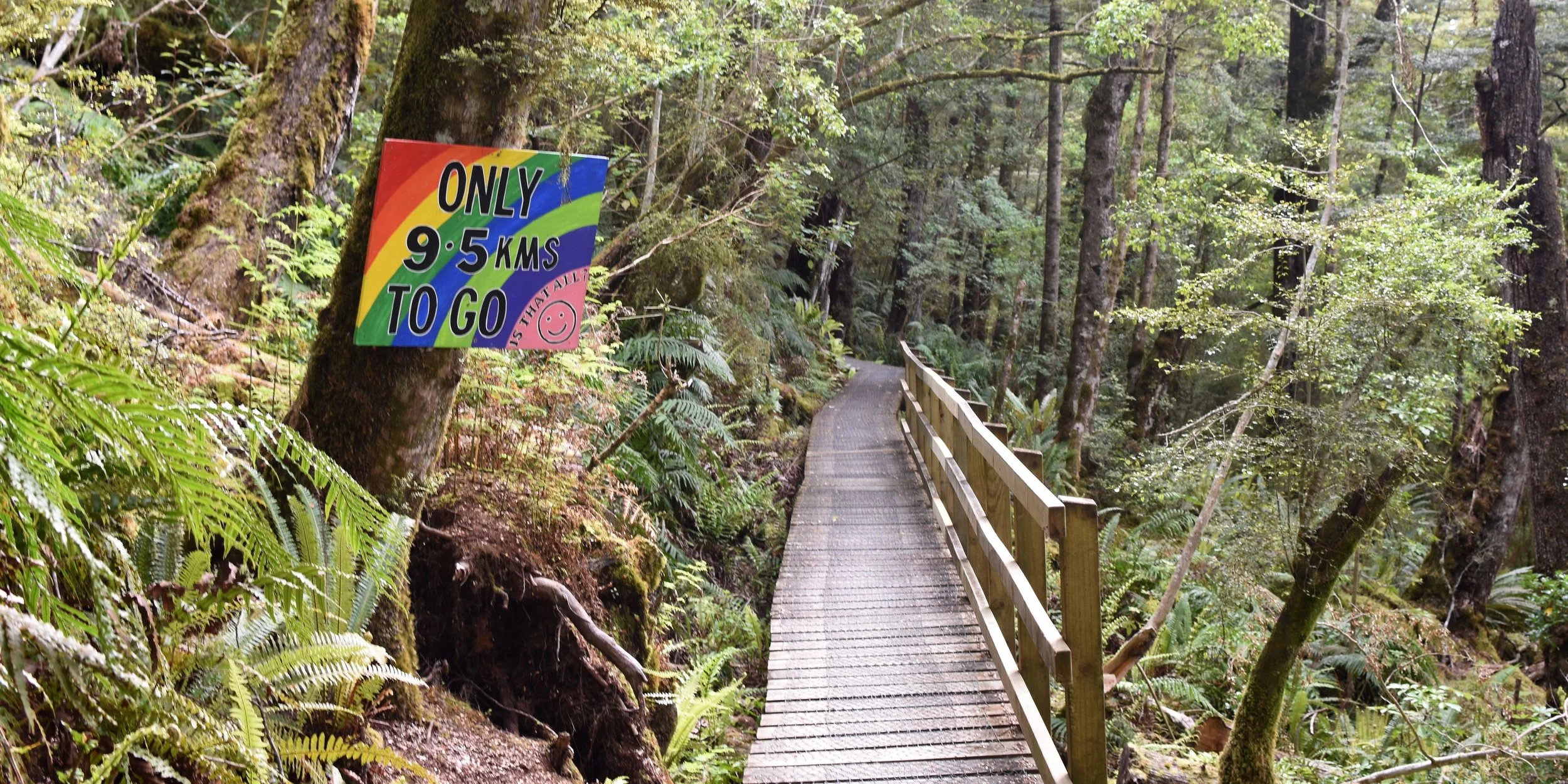
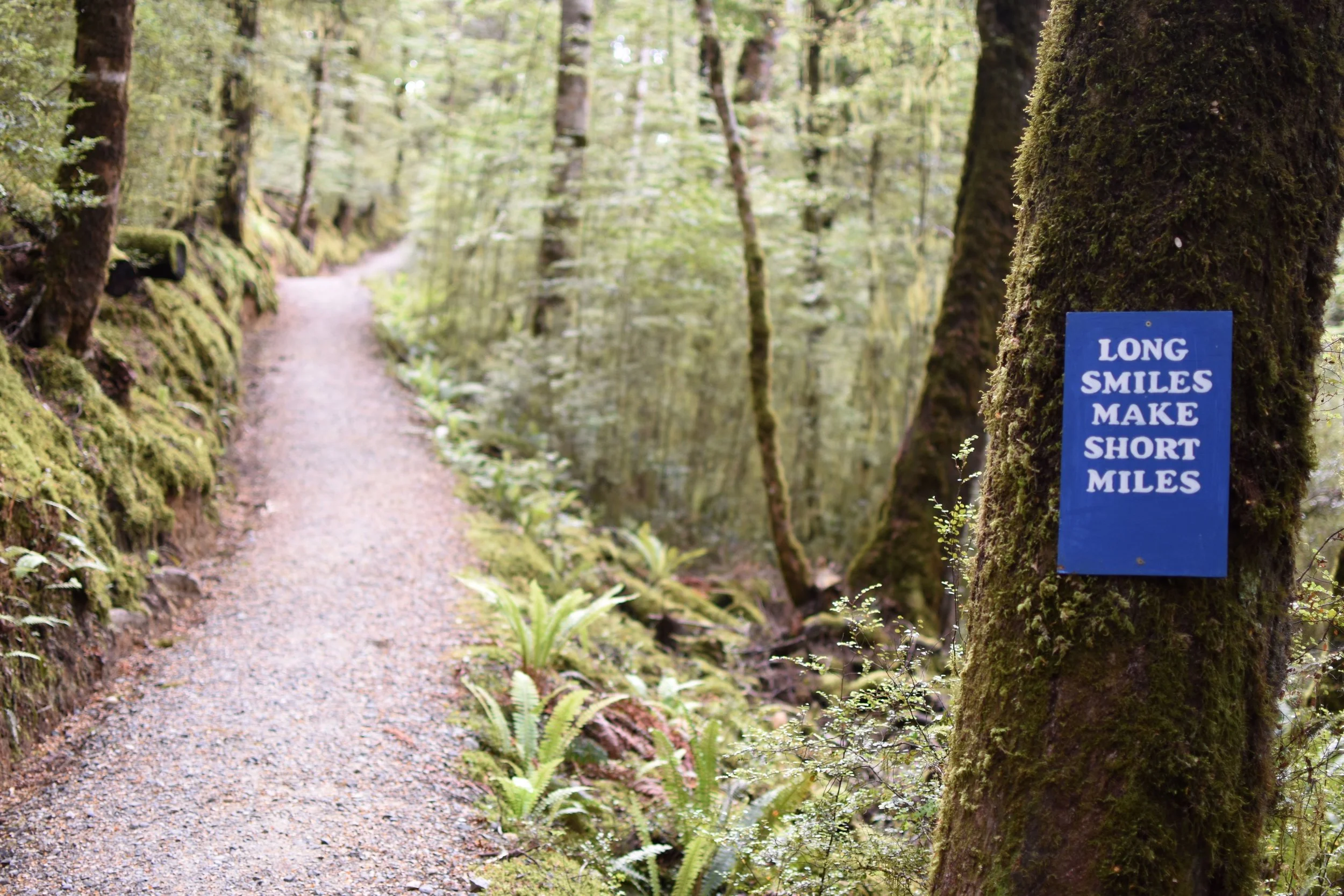
Once again, I was the first one on the trail. There wasn’t much of any elevation gain. The trail mostly followed the shore of lake Manoupori and then the river that connects lake Te Anau to it. After about the first six kilometers, the trail branches off to a parking lot, and you can pay to take a bus to the trail head parking lot. But I was determined to close the loop! Thanks to some motivating signage, I finished the last ten kilometers without much trouble.
You’d better believe I got my pizza and beer after that. Tomorrow is up to Milford sound. This place is unreal.